4 reasons why you should rely on 3D laser scanning
The creation of planning fundamentals of real estate is a complex task. It requires capturing intricate details, as quickly and accurately as possible, all without interrupting operations or causing disruption.
So it's clear that surveying firms doing this work need a tool that's up to the task. Here are four reasons why you should rely on a building survey using 3D laser scanning to capture real estate.
Capture the entire property contact-free and efficiently
Recording with a 3D laser scanner is contactless and safe for people and machines in the building.
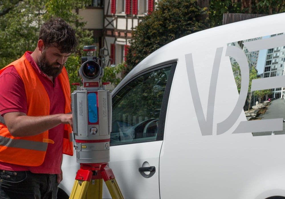
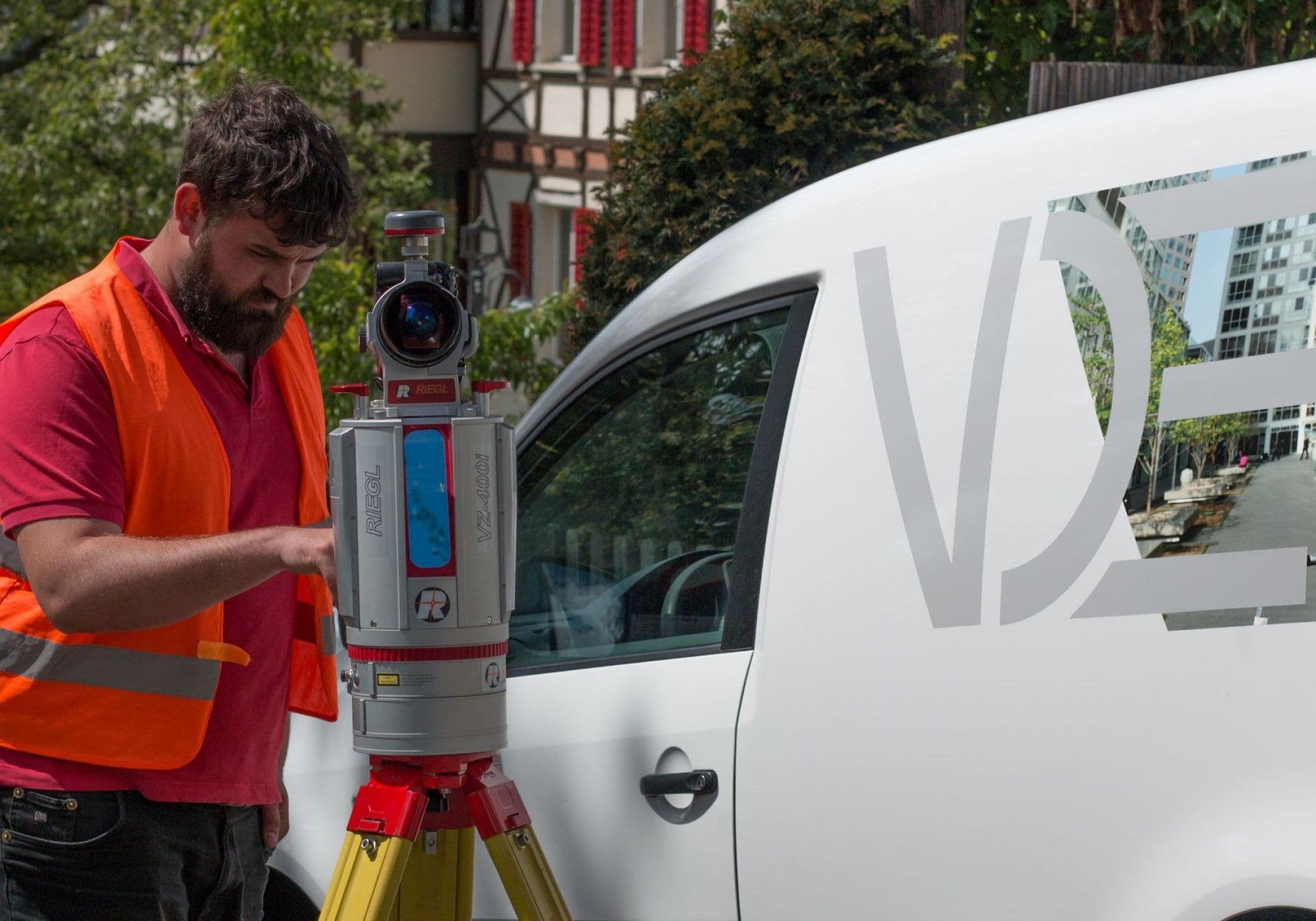
Perhaps the biggest advantage of terrestrial 3D laser scanners is speed. Our laser scanner has a scan rate of up to one million points per second, which means that even the largest structures can be captured in just a few minutes.
The time needed for one survey per room is therefore very short and people in the room can continue their work or daily routine without any problems. So there is no need to sacrifice much time and preparation to perform a building survey.
What is 3D laser scanning good for?
Identify planning challenges before they cause problems
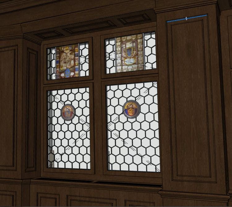
It's often overlooked as a benefit, but design baselines determined with 3D laser scanning can actually help you identify in advance which elements and building components present particular design challenges. Models created as a result of laser scanning capture all architectural and structural elements at a site down to the millimeter.
These models are so comprehensive that they capture and bring to light things that may not be obvious to the naked eye. So you know exactly which wall is crooked or where beams and columns are in the way - saving you money and lost work during implementation.
How is laser scanner data processed?
Laser scanners document every detail and enable virtual visits
Laser scanner images are so thorough that almost every detail is captured. So thorough, in fact, that the likelihood of omissions in the data is minimal.
Tools like RiPANO Viewer allow you to visit the site virtually as often as you want. These virtual visits are so realistic that the need to revisit the property is eliminated.
RiPANO incorporates the existing 360° images into a virtual walk-through of the scanned property. In this tool, they can easily and quickly grab heights, measure distances and view the rooms in one view.
Save time and work in your familiar CAD environment
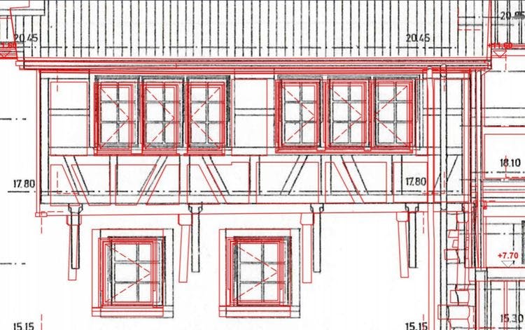
Work in your familiar environment. Through many years of experience, we can prepare the data for almost any CAD. VDE delivers 2D plans and 3D models in ArchiCAD, Vectorworks, Revit, Allplan and in various IFC solutions.
The 3D models created with the data from a laser scanner are so detailed that you are guaranteed reliable and smooth planning. There are no limits to the evaluation in 3D and 2D, depending on your requirements, we can elaborate everything to the finest detail.
