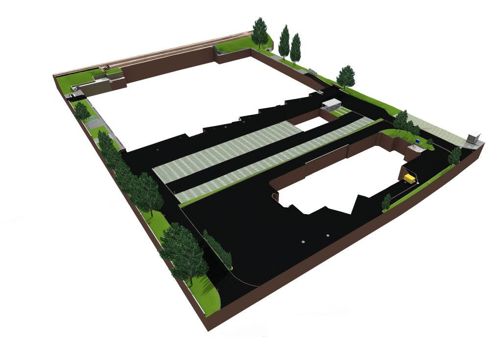
Also outside

Terrain measurement

Millimeter-precise representation of an area: All natural and human-made features are captured thanks to thousands of measuring points with a high-precision 3D laser scanner and displayed as a three-dimensional point cloud.

Terrain or topographic measurements are accurate representations of a specific area.

All natural and man-made features of the environment are recorded.

The point cloud data is evaluated in 3D or in 2D - depending on the guests needs.

Both individual parcels and entire areas can be recorded.

The VDE always evaluates the site according to the needs of the interest groups.

Villa Digital
Engineering AG

Tittwiesenstrasse 55
7000 Chur

Zwicky-Platz 9
8304 Wallisellen

Zugerstrasse 53
6340 Baar


mail@vde.ch