Other References
from this Category
Villa Digital
Engineering AG
Tittwiesenstrasse 21
7000 Chur
Alte Landstrasse 248
8708 Männedorf
Zugerstrasse 53
6340 Baar
Neugasse 12
9000 St. Gallen
3D As-Built Model in ArchiCAD | Städtchen Aarburg AG
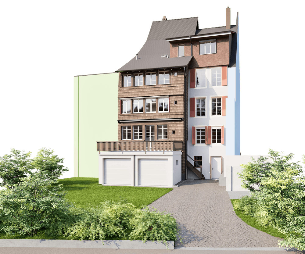
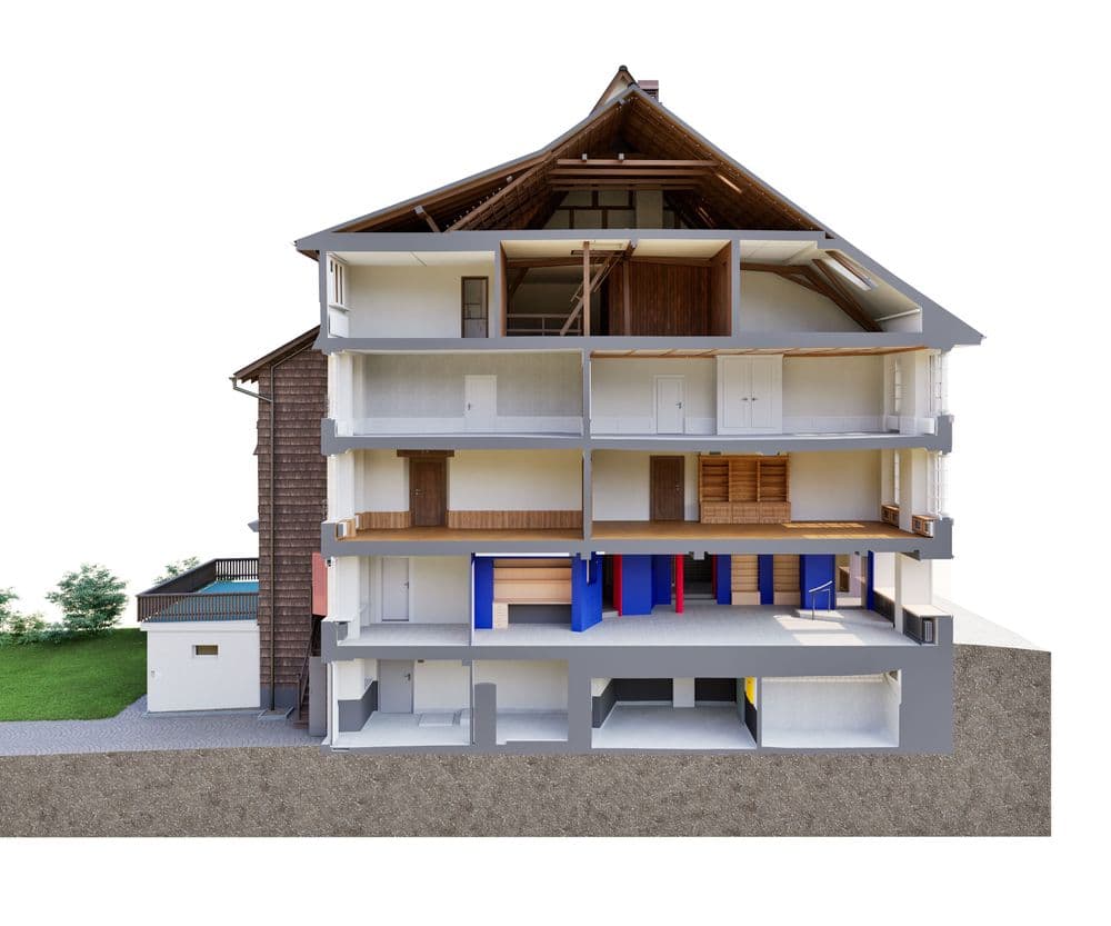
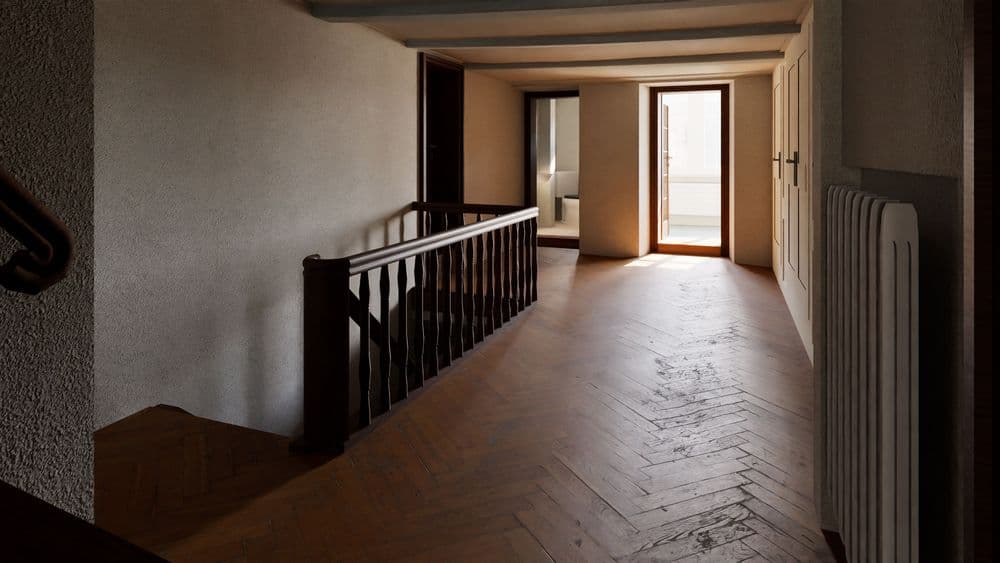
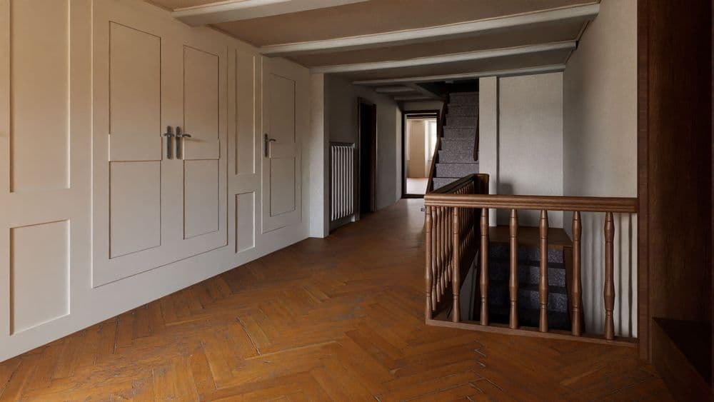
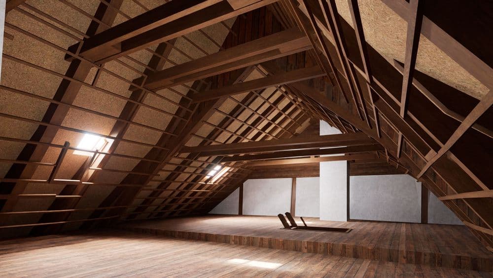
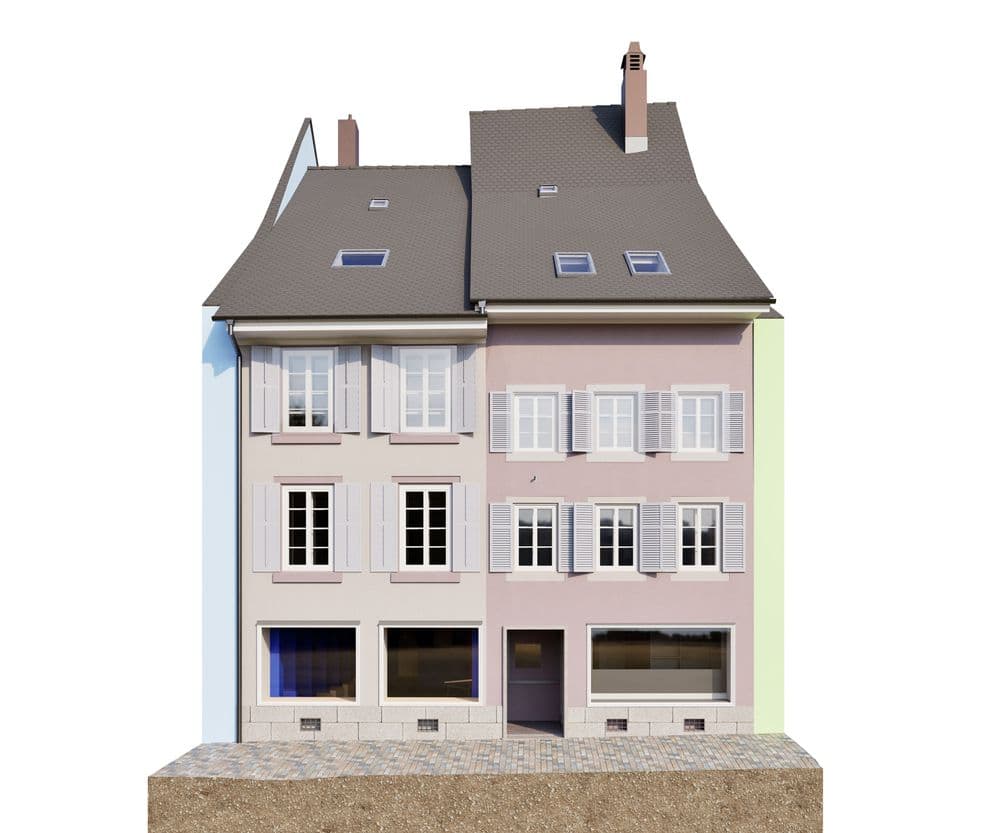
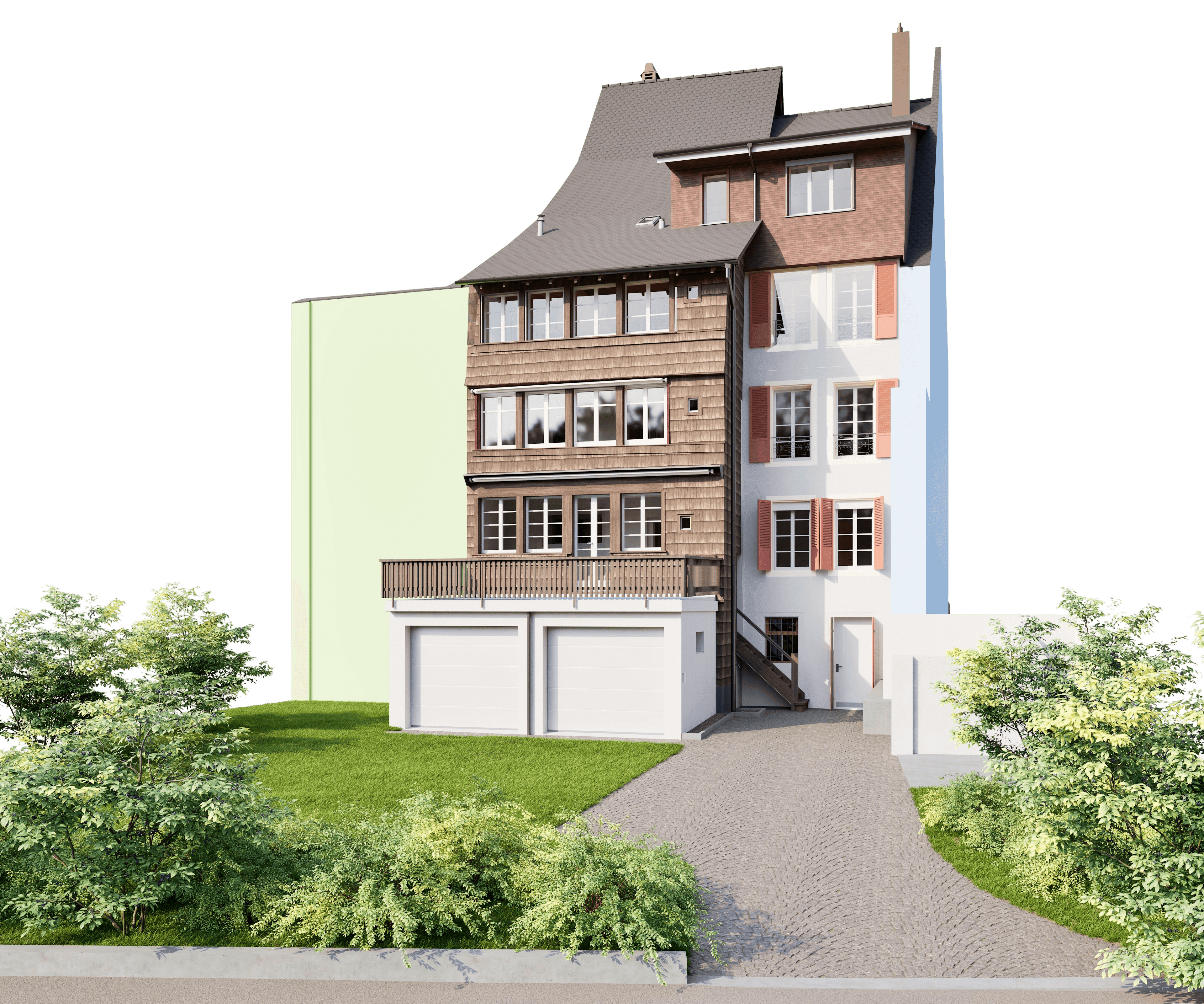
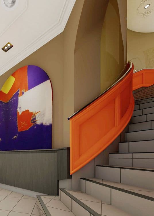
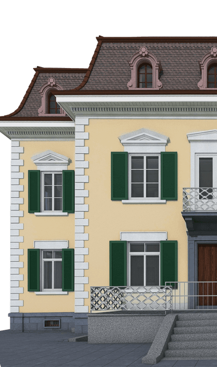
We conducted a complete 3D survey of the two properties in the town of Aarburg. Using state-of-the-art 3D laser scanning, all floors—from the basement to the attic—were captured with millimeter precision and processed into a BIM-ready 3D model in ArchiCAD 28. From the point cloud, we generated laid-out 2D plans including all floor plans, sections, and elevation views, which document the buildings in great detail. We also modeled the terrain of the entire lot to create a comprehensive foundation for planning and documentation.
We conducted a complete 3D survey of the two properties in the town of Aarburg. Using state-of-the-art 3D laser scanning, all floors—from the basement to the attic—were captured with millimeter precision and processed into a BIM-ready 3D model in ArchiCAD 28. From the point cloud, we generated laid-out 2D plans including all floor plans, sections, and elevation views, which document the buildings in great detail. We also modeled the terrain of the entire lot to create a comprehensive foundation for planning and documentation.