Other References
from this Category
Villa Digital
Engineering AG
Tittwiesenstrasse 21
7000 Chur
Alte Landstrasse 248
8708 Männedorf
Zugerstrasse 53
6340 Baar
Neugasse 12
9000 St. Gallen
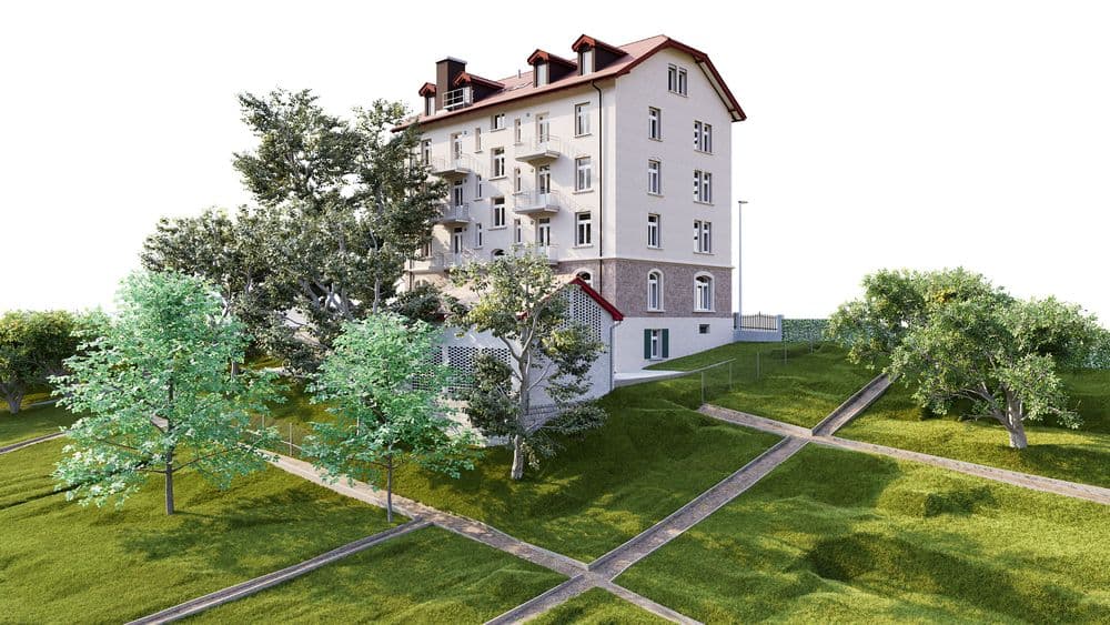
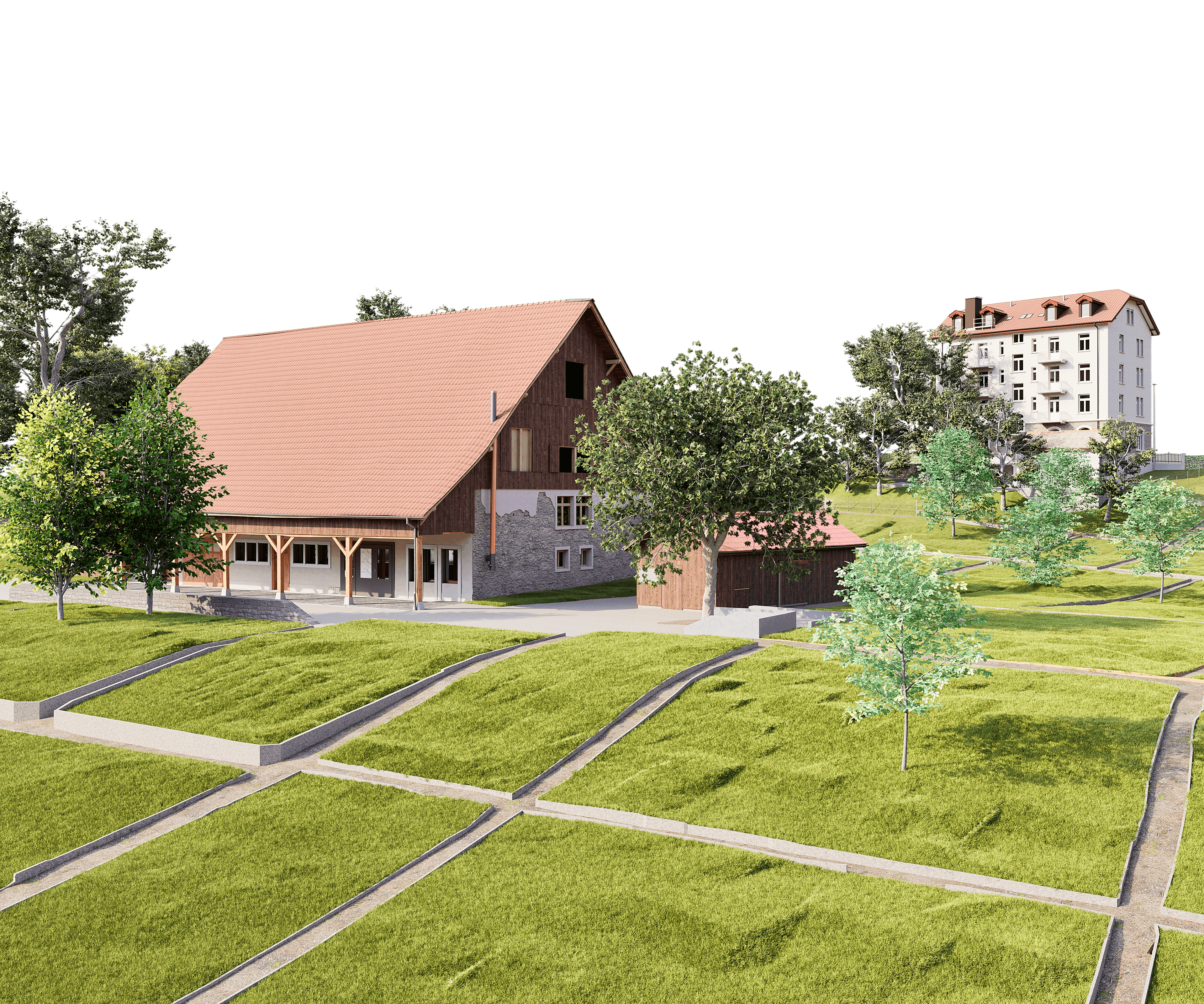
3D As-Built Modeling | Urnerhof Lucerne Site Development
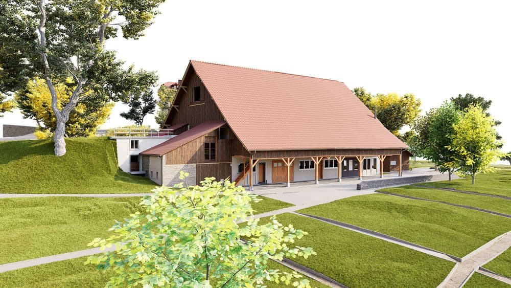
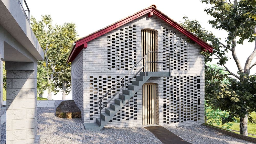
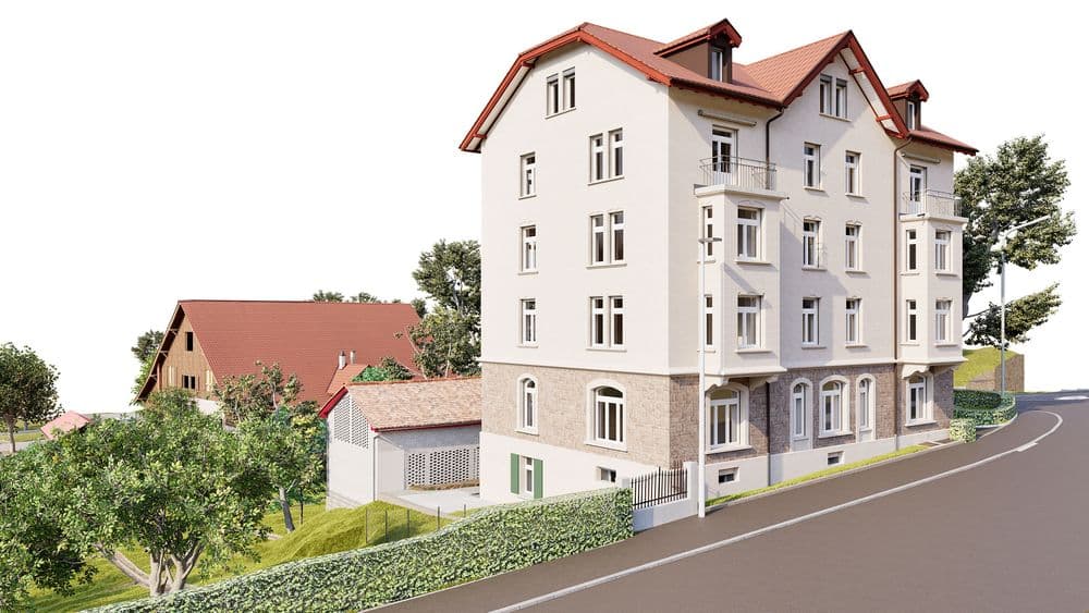
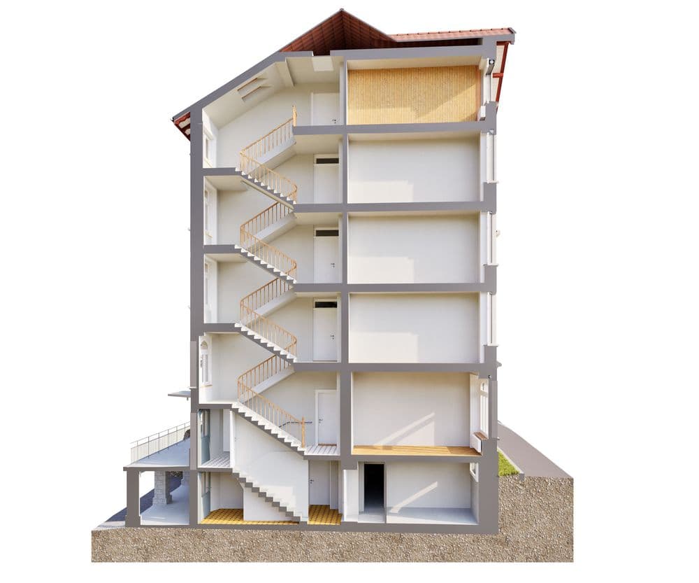
Existing Conditions Modeling for the Urnerhof Site in Lucerne
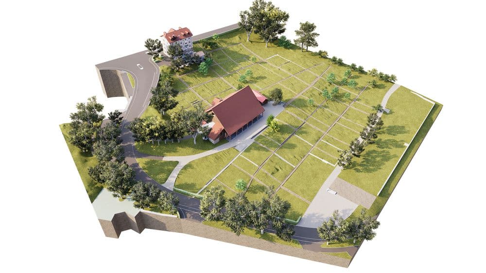
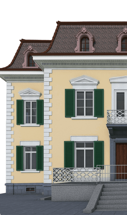
Over the next few years, the Urnerhof site in Lucerne will become one of the urban areas where the city plans to build affordable housing—approximately 200 apartments are planned there. Before a site of this magnitude can be reimagined, a reliable foundation is needed: an accurate representation of what currently exists on-site.
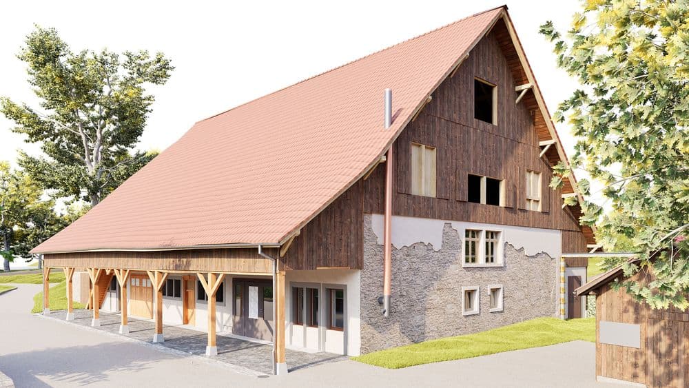
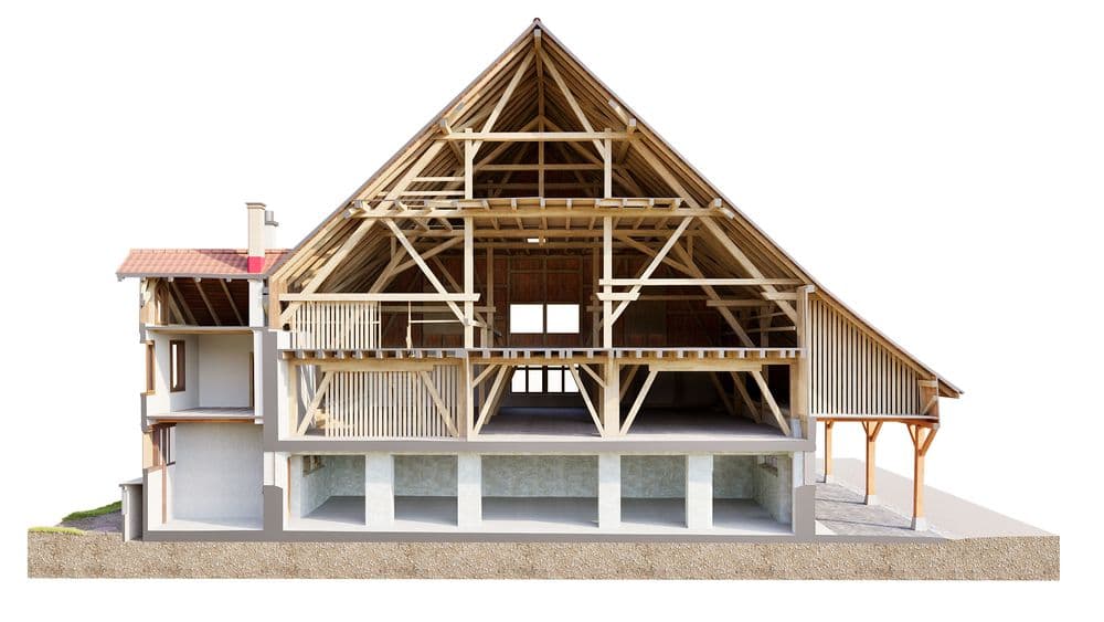
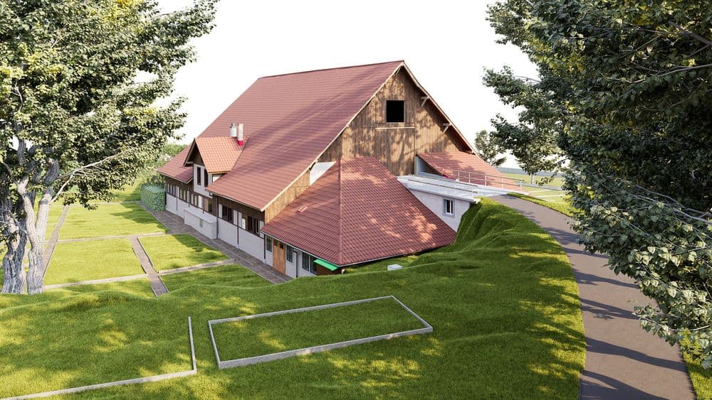
We were entrusted with this task by the City of Lucerne’s Geoinformation Center. The city conducted the on-site surveying, and based on that data, we created a detailed 3D as-built model.
The challenge with site developments of this kind rarely lies in the surveying itself, but rather in what comes next: Existing buildings, infrastructure, and open spaces must be documented in such a way that planners and authorities can work from a shared, robust foundation—for a project involving around 200 new apartments, a model that supports every subsequent decision. A high-precision 3D model achieves exactly that: It reduces uncertainties during the planning phase and serves as the foundation upon which new uses can be seamlessly integrated into the existing structure.
The professional exchange with the City of Lucerne’s Geoinformation Center—particularly with Patrick Würsten—was straightforward and conducted on an equal footing—exactly as collaboration between specialized departments should be. We are eager to see how the Urnerhof develops over the next few years and would be delighted to work on further joint projects.
Existing Conditions Modeling for the Urnerhof Site in Lucerne