


Other References
from this Category


Villa Digital
Engineering AG
Tittwiesenstrasse 21
7000 Chur
Alte Landstrasse 248
8708 Männedorf
Zugerstrasse 53
6340 Baar
Neugasse 12
9000 St. Gallen
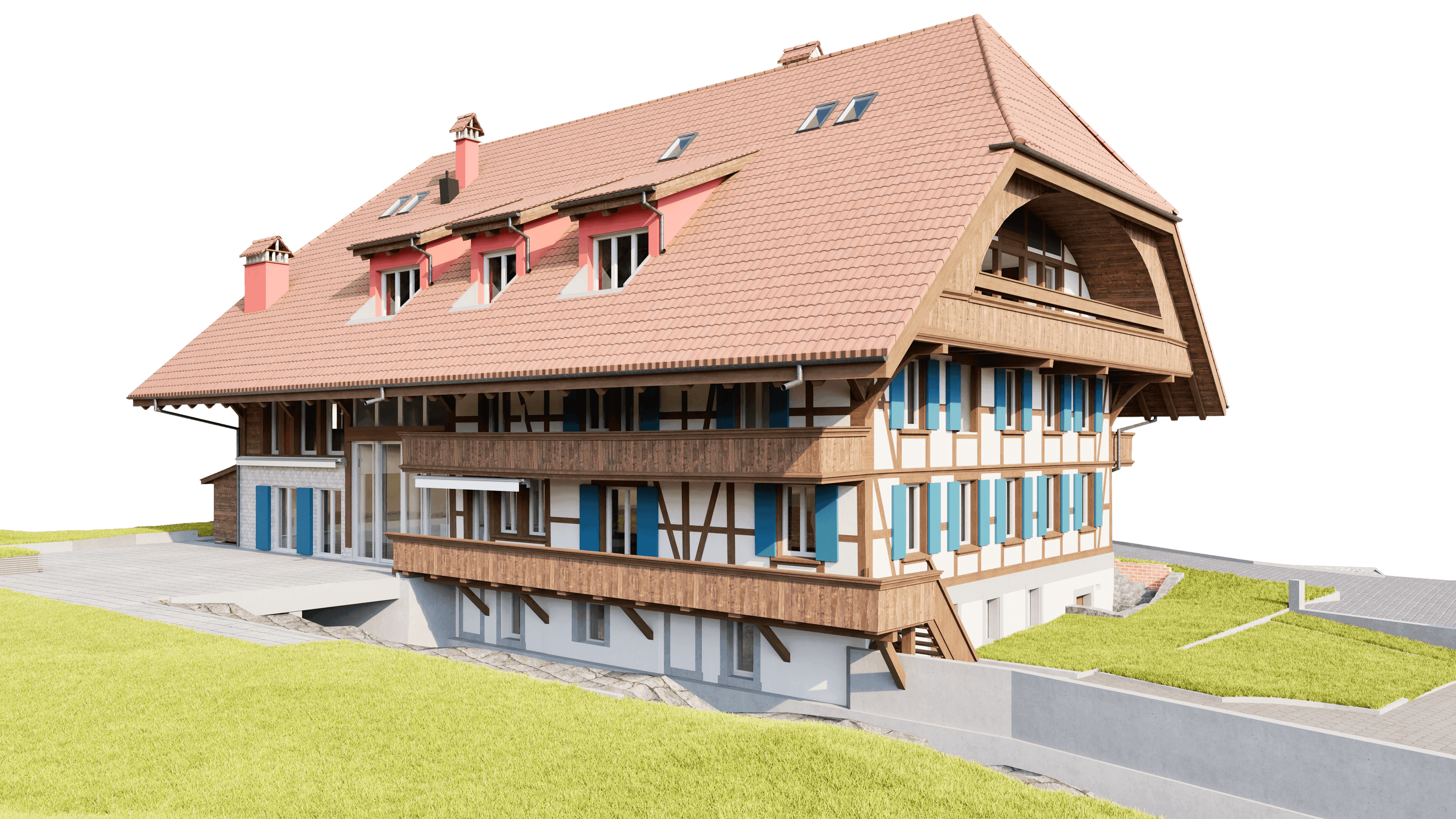
Oberdorf, Jegenstorf
At the edge of the village of Jegenstorf, the building survey of the properties, including the entire plot, was carried out. Precise 3D laser scanning was used to create a complete digital inventory of the buildings and terrain. On this basis, a detailed 3D CAD model of all storeys was created in ArchiCAD 28. The processed as-built data serves as a reliable basis for planning, documentation and further project planning in the existing building as well as for the long-term digital preservation of the building structure and terrain information.
At the edge of the village of Jegenstorf, the building survey of the properties, including the entire plot, was carried out. Precise 3D laser scanning was used to create a complete digital inventory of the buildings and terrain. On this basis, a detailed 3D CAD model of all storeys was created in ArchiCAD 28. The processed as-built data serves as a reliable basis for planning, documentation and further project planning in the existing building as well as for the long-term digital preservation of the building structure and terrain information.