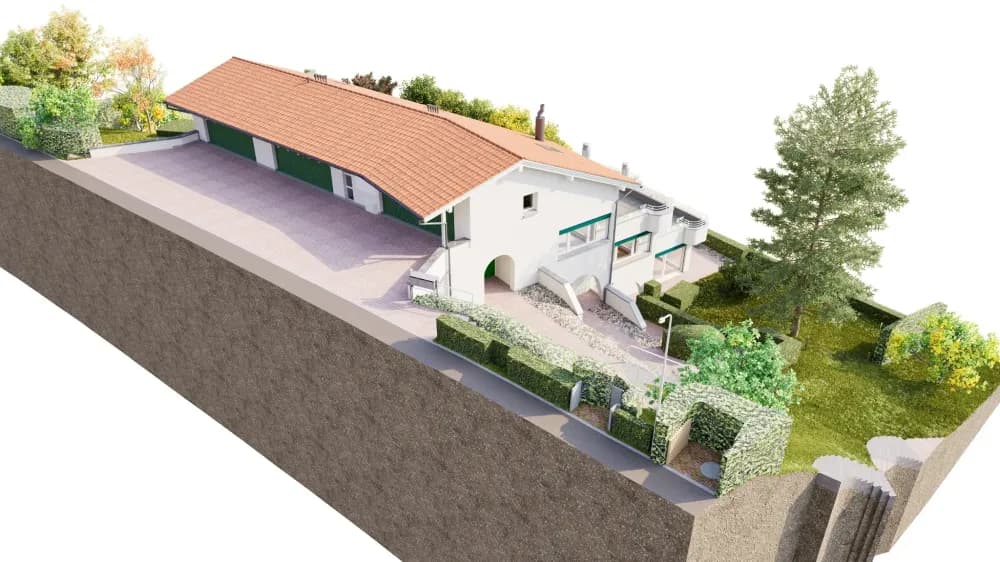
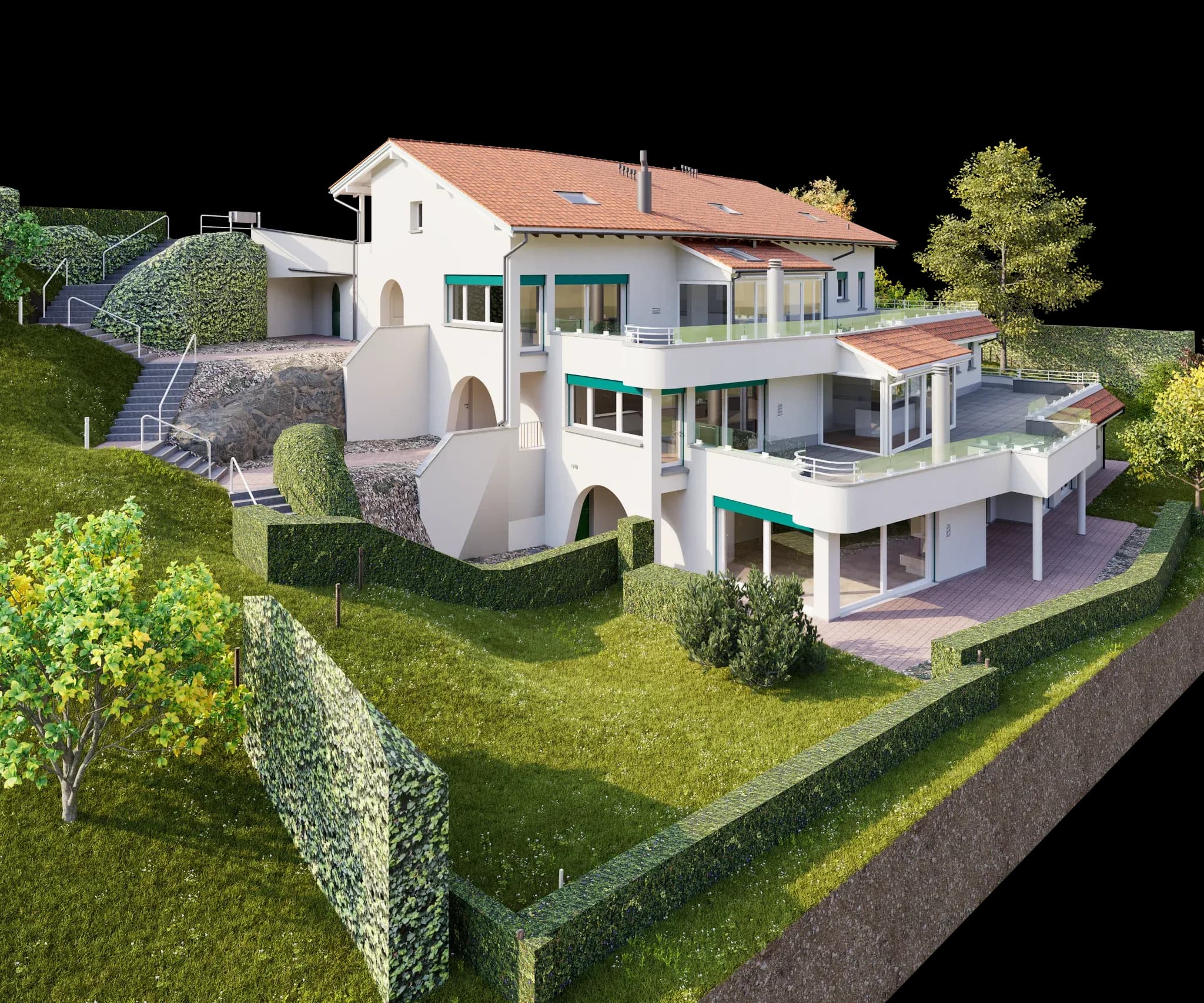
Other References
from this Category
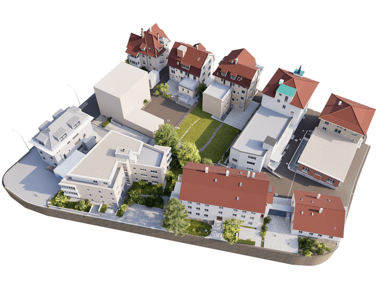
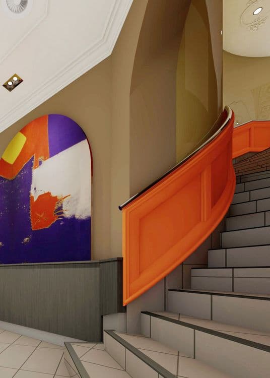
Villa Digital
Engineering AG
Tittwiesenstrasse 21
7000 Chur
Alte Landstrasse 248
8708 Männedorf
Zugerstrasse 53
6340 Baar
Neugasse 12
9000 St. Gallen
Point Cloud of a Building | Terraced House in Wollerau
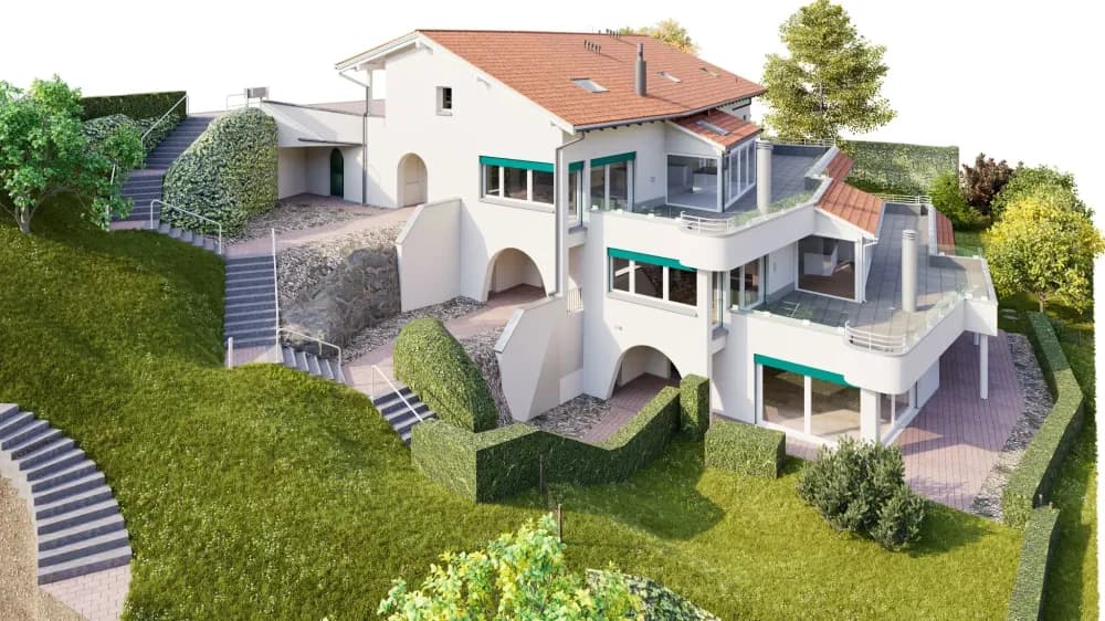
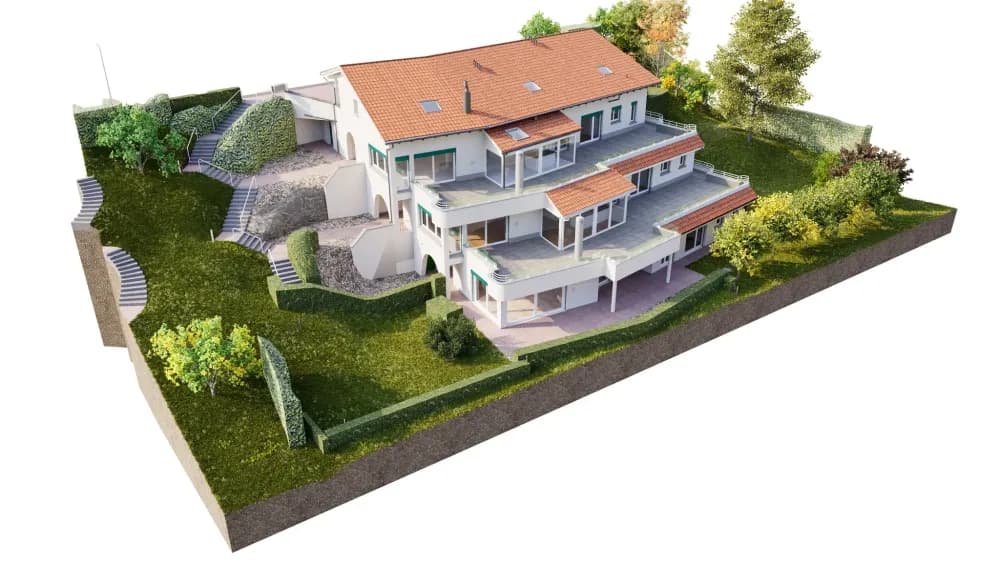
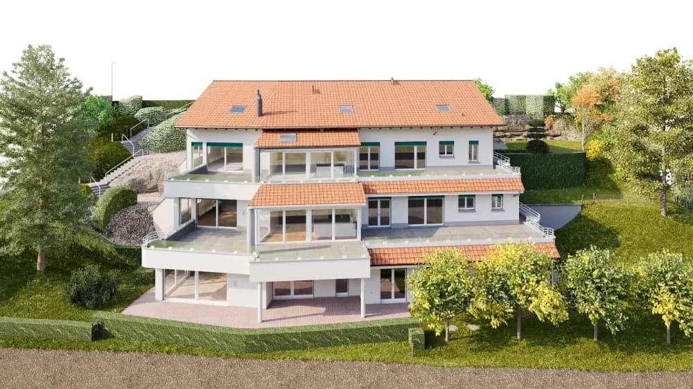
For a terraced residential house on a steep hillside at Studenbühlstrasse 24 in Wollerau, VDE carried out a complete as-built survey using 3D laser scanning. The point cloud of the building and the plot was used to create a 3D as-built model in ArchiCAD with laid-out 2D plans as a reliable basis for further planning.
Initial situation
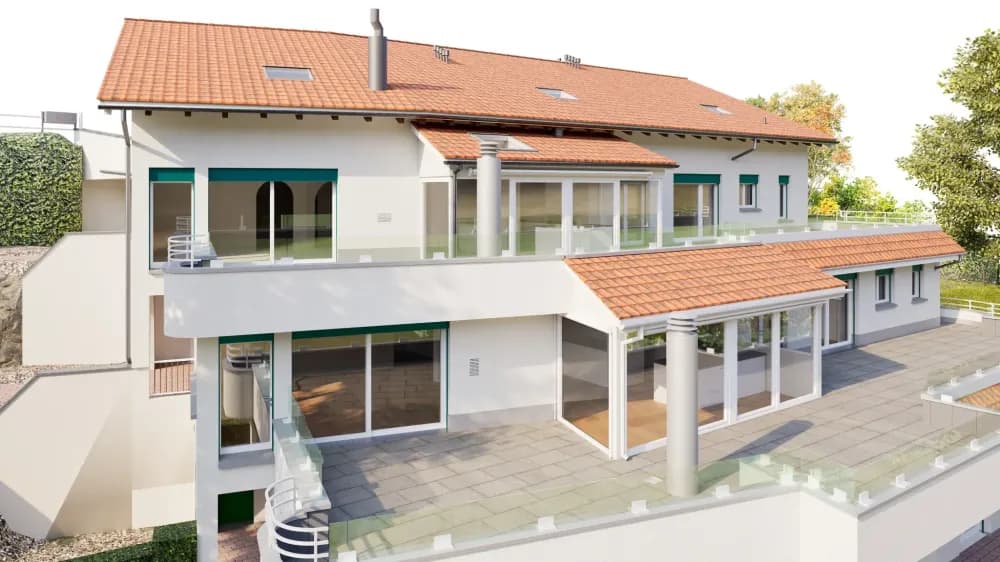
The building extends over four storeys, staggered to follow the slope. Each storey has its own terraces, some with winter gardens and cantilevered balcony slabs on columns. In addition, there are round arches, several roof surfaces at different heights, and natural stone walls, external stairs and terrain steps around the house.
Further planning required precise documentation that captures the building and the terrain together. On a hillside like this, terraces, access routes and retaining walls are closely linked to the terrain.
Survey: point cloud of building and plot
The survey was carried out with a terrestrial laser scanner from RIEGL. All storeys, façades and terraces were captured, as well as the entire plot with its stairs, walls and terrain. The individual scan positions were registered into a combined point cloud and specifically checked for local offsets before modelling.
The staggered construction and numerous changes in height required careful planning of the scan positions. Only in this way can areas beneath cantilevered terraces, behind retaining walls and along the steep external stairs be captured without gaps. The result is a point cloud that shows the building and its surroundings as a coherent, three-dimensional representation.
Scope of services
- 3D as-built model: complete building model in ArchiCAD across all four storeys
- Floor plans: 4 laid-out floor plans
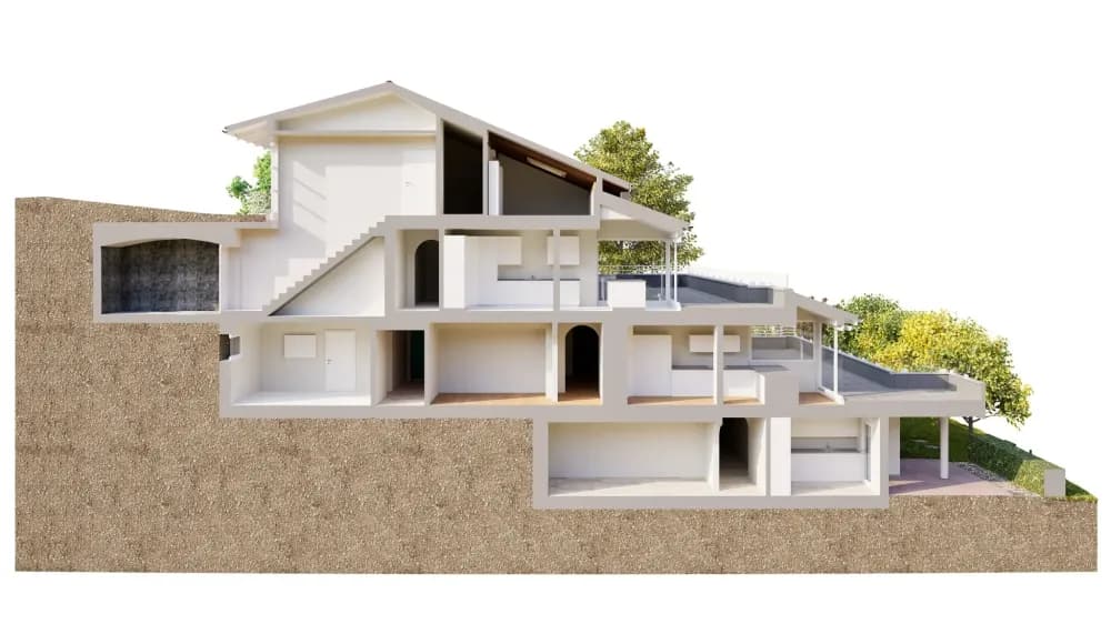
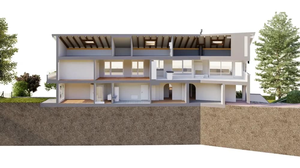
- Sections: 1 cross section and 1 longitudinal section
- Elevations: 4 façade elevations
- Terrain: modelling of the entire plot including walls and stairs
- Delivery: ArchiCAD File, DWG, DXF & PDF
From point cloud to model
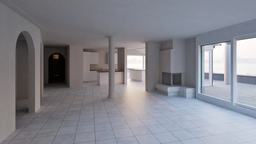
Based on the checked point cloud, the building was modelled natively in ArchiCAD. Walls, slabs, round arches, terraces, winter gardens and roof surfaces are built as parametric elements and can be edited directly. Floor plans, sections and façade elevations were derived from the model and fully laid out.
Since the building and the plot come from the same point cloud, the model and the terrain fit together exactly. The sections show how the individual storeys reach into the slope, and the height relationships between terraces, access routes and terrain are available in the same coordinate system.
Result
The client received a complete 3D as-built model with a guaranteed accuracy of ±2 cm, supplemented by ten finished plans. Thanks to delivery as an ArchiCAD File and in DWG, DXF and PDF formats, all project participants can work with the data regardless of their software.
Do you need a point cloud of your building and a reliable 3D as-built model? VDE captures buildings and terrain with 3D laser scanning and creates your model natively in the CAD software of your choice.
For a terraced residential house on a steep hillside at Studenbühlstrasse 24 in Wollerau, VDE carried out a complete as-built survey using 3D laser scanning. The point cloud of the building and the plot was used to create a 3D as-built model in ArchiCAD with laid-out 2D plans as a reliable basis for further planning.