Other References
from this Category
Villa Digital
Engineering AG
Tittwiesenstrasse 21
7000 Chur
Alte Landstrasse 248
8708 Männedorf
Zugerstrasse 53
6340 Baar
Neugasse 12
9000 St. Gallen
Premium Off-Road Model with Cadastral Map | Weisslingen, ZH
A 3D CAD terrain model enables a precise representation of a site’s topographic features. It captures elevation differences, slopes, flat areas, and other terrain details, resulting in an accurate and realistic representation.
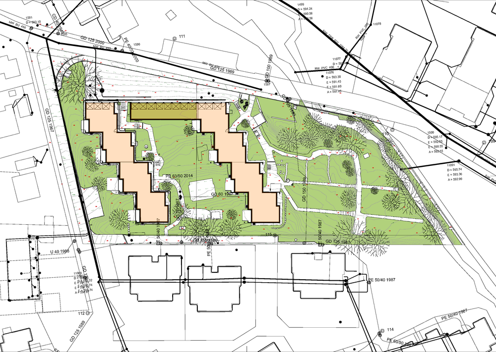
This project required the high VDE terrain standard, which means that in addition to the natural terrain, we also modeled fences, shafts, trees, walls, stairs, etc.
The buildings were requested to be modeled as cubes with doors but without windows, since only the heights of the buildings and entrances will be relevant for future planning.
For the shafts, we measured and specified not only their positions but also their depths.
To enhance the project with additional existing information, we incorporated cadastral maps into the 2D plans.
The result is a comprehensive overview of the site, including all details and key information necessary for planning.
A 3D CAD terrain model enables a precise representation of a site’s topographic features. It captures elevation differences, slopes, flat areas, and other terrain details, resulting in an accurate and realistic representation.