Other References
from this Category
Villa Digital
Engineering AG
Tittwiesenstrasse 21
7000 Chur
Alte Landstrasse 248
8708 Männedorf
Zugerstrasse 53
6340 Baar
Neugasse 12
9000 St. Gallen
SBB Land Survey | Melide
Many site development projects fail not because of the idea itself, but because of incorrect assumptions made in the initial phase. Existing plans seem adequate—until elevations, slopes, connections, and established structures suddenly cause problems during implementation.
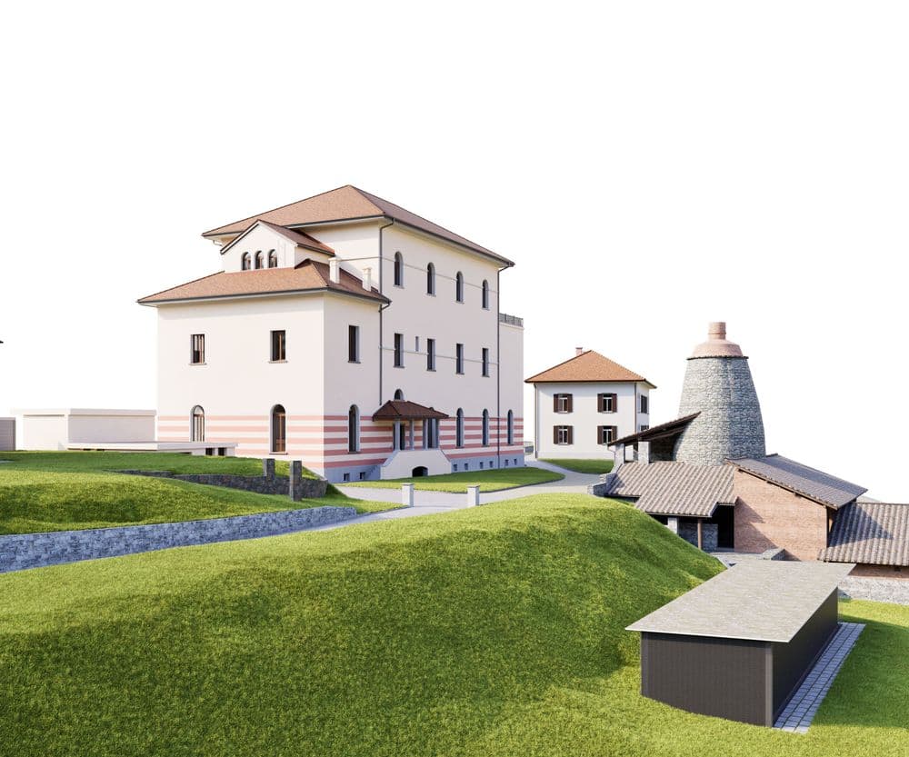
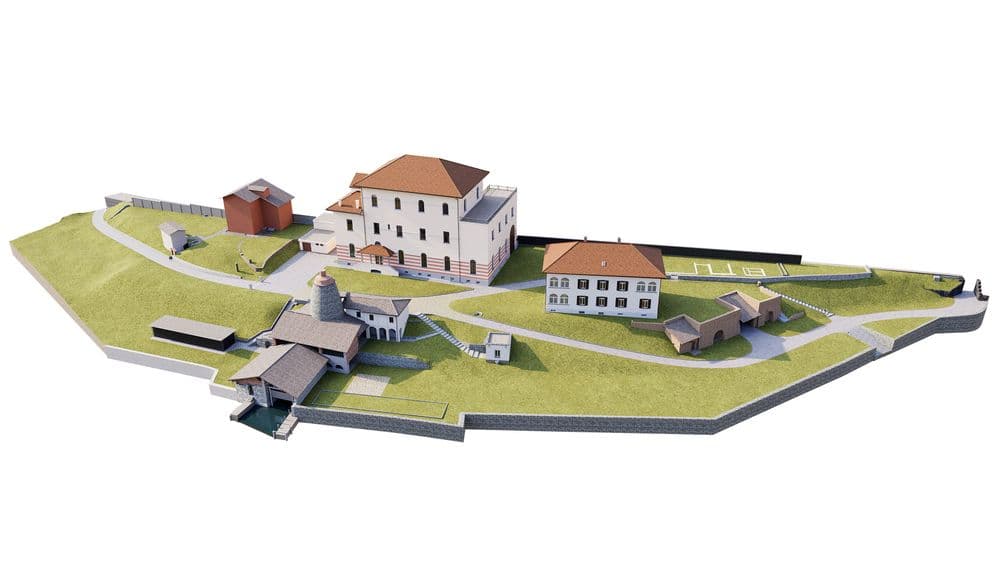
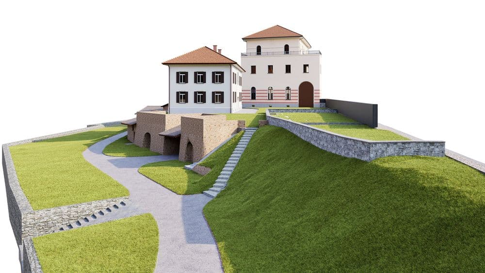
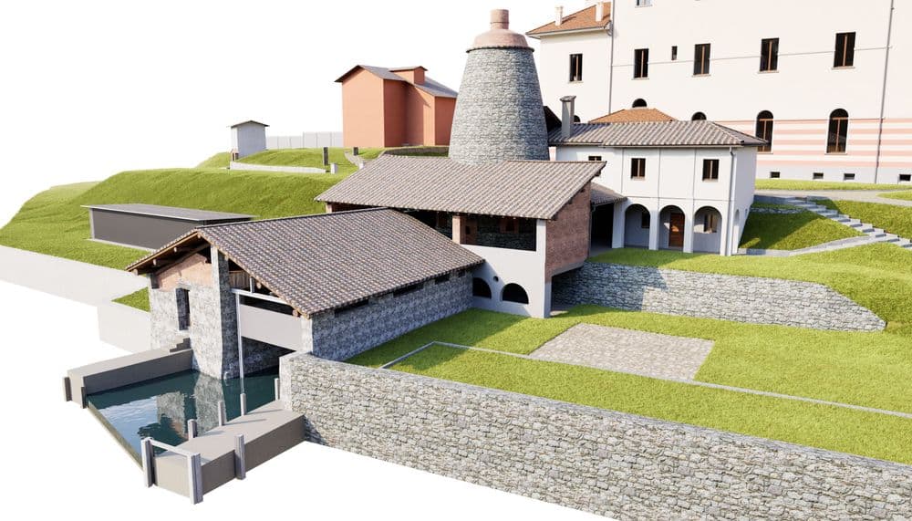
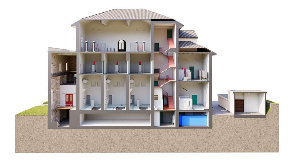
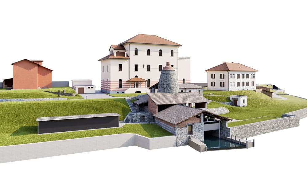
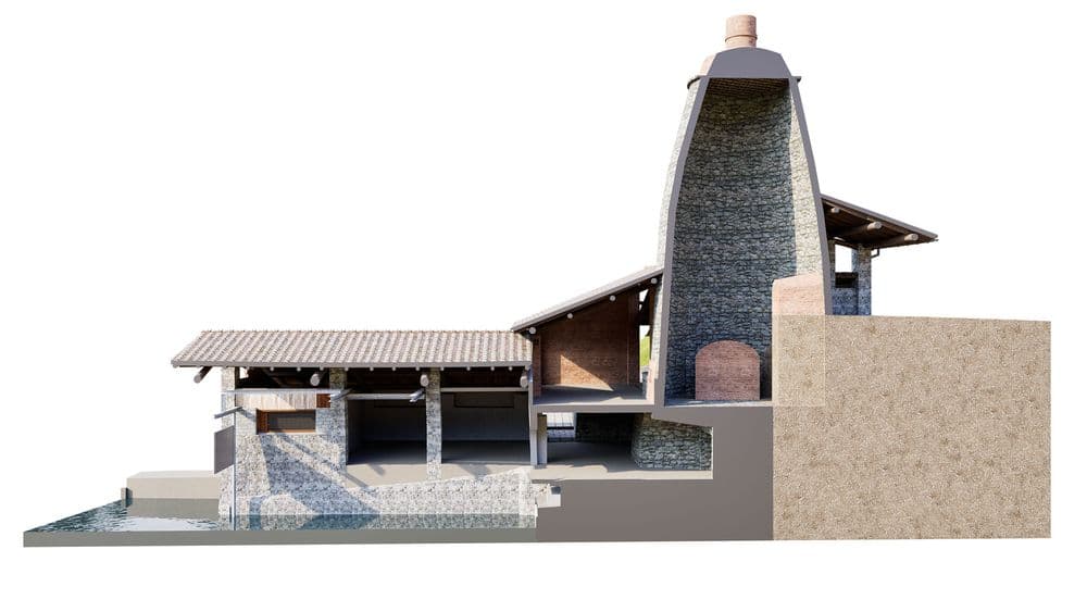
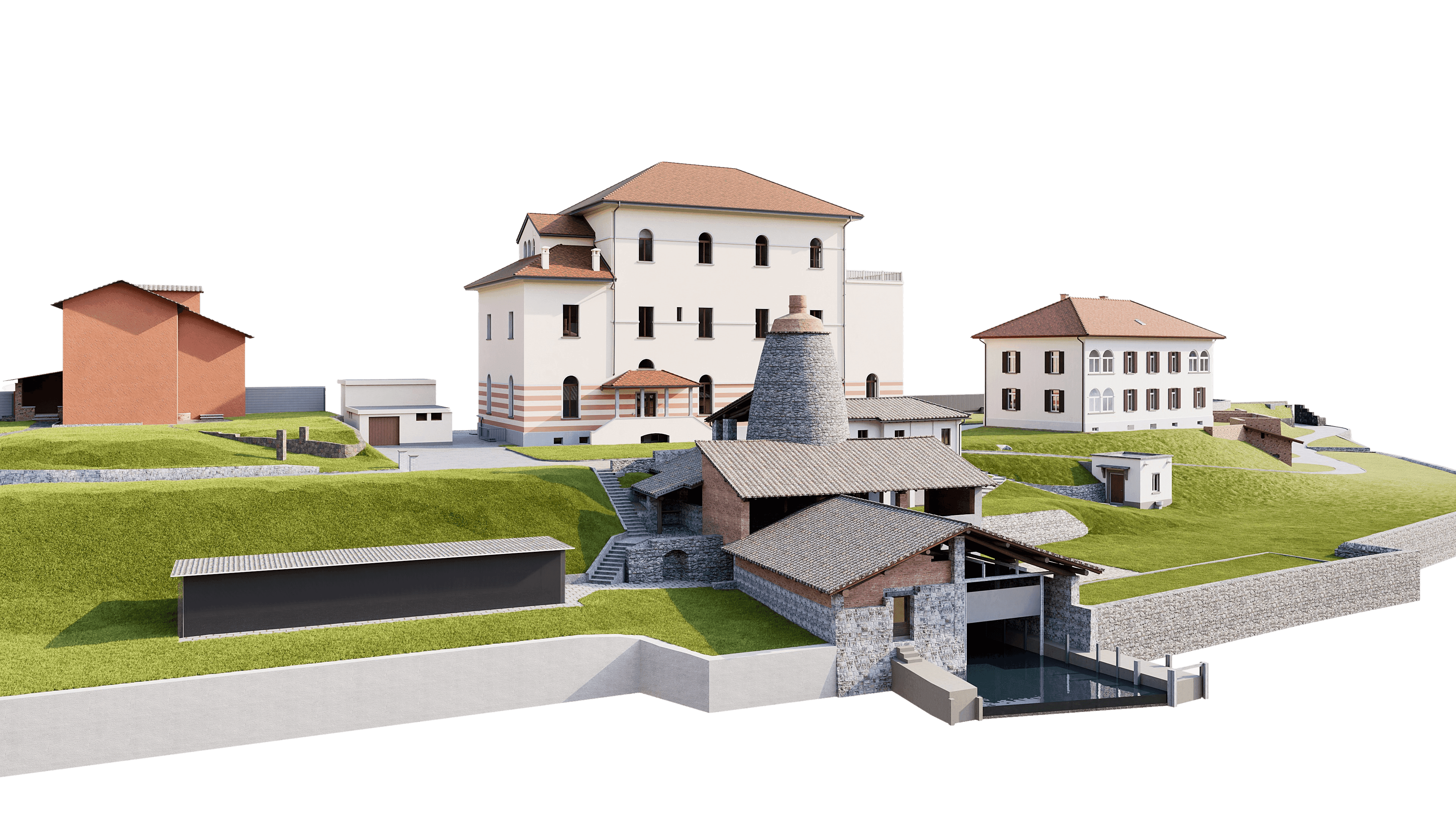
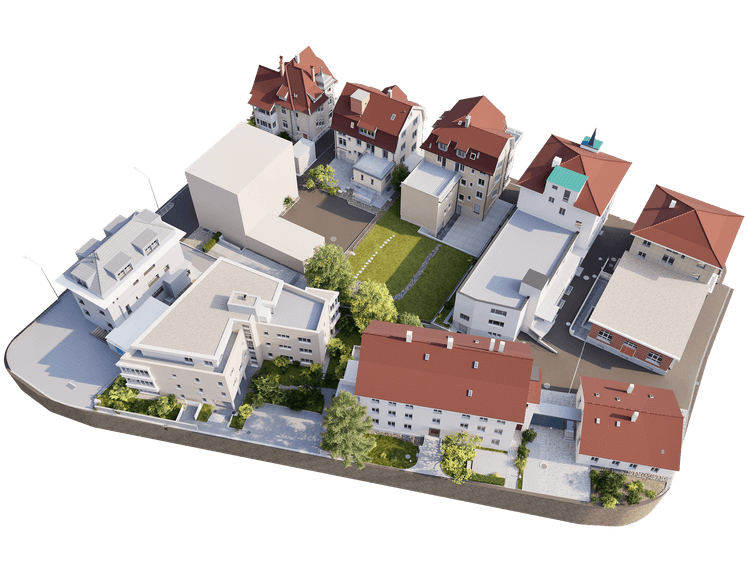
In Melide, we therefore made a conscious decision to start with reality. The entire SBB site was precisely surveyed using 3D laser scanning and modeled as a reliable baseline. The terrain, structures, and infrastructure were mapped exactly as they are—not as we assumed them to be.
The result is a consistent 3D site model that provides clarity early on, highlights risks, and offers planning certainty—long before the first drafts are finalized.
This project demonstrates just how crucial it is to get off to the right start. It’s not about planning faster, but planning better.
Many site development projects fail not because of the idea itself, but because of incorrect assumptions made in the initial phase. Existing plans seem adequate—until elevations, slopes, connections, and established structures suddenly cause problems during implementation.