Other References
from this Category
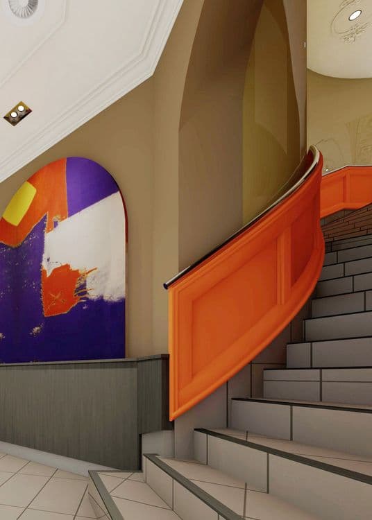
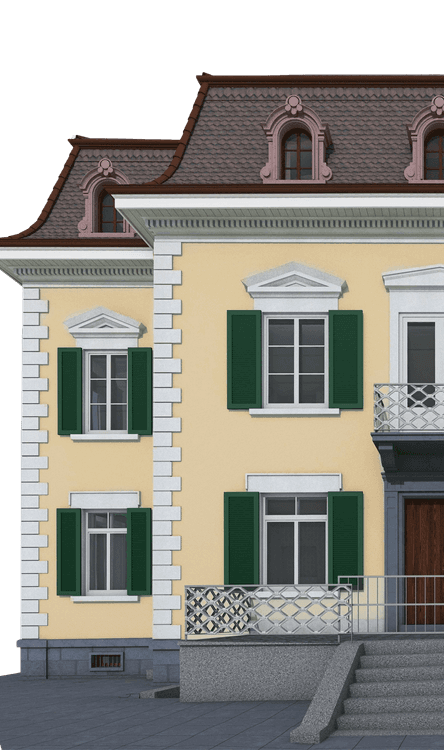
Villa Digital
Engineering AG
Tittwiesenstrasse 21
7000 Chur
Alte Landstrasse 248
8708 Männedorf
Zugerstrasse 53
6340 Baar
Neugasse 12
9000 St. Gallen
Survey of School Grounds and Buildings | Richterswil, ZH
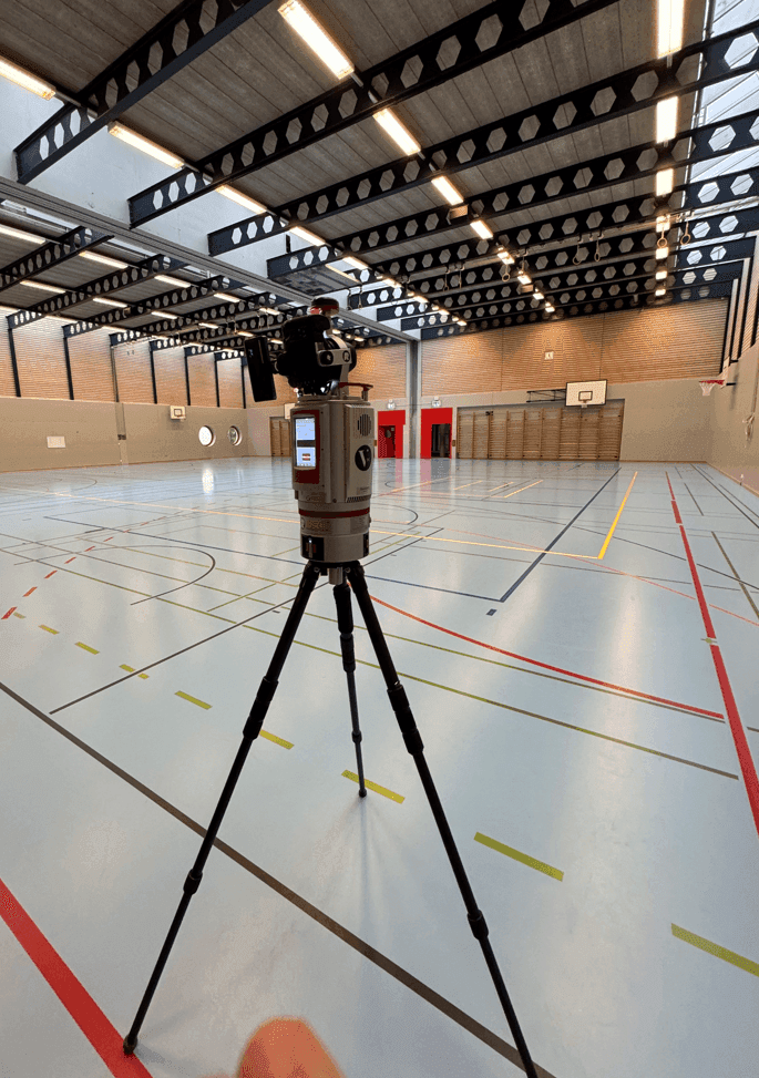
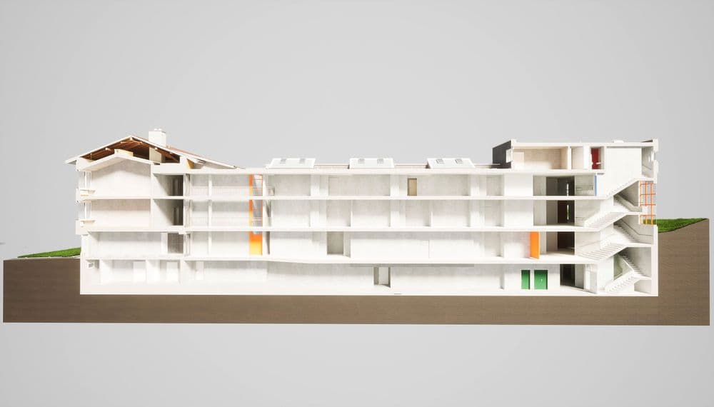
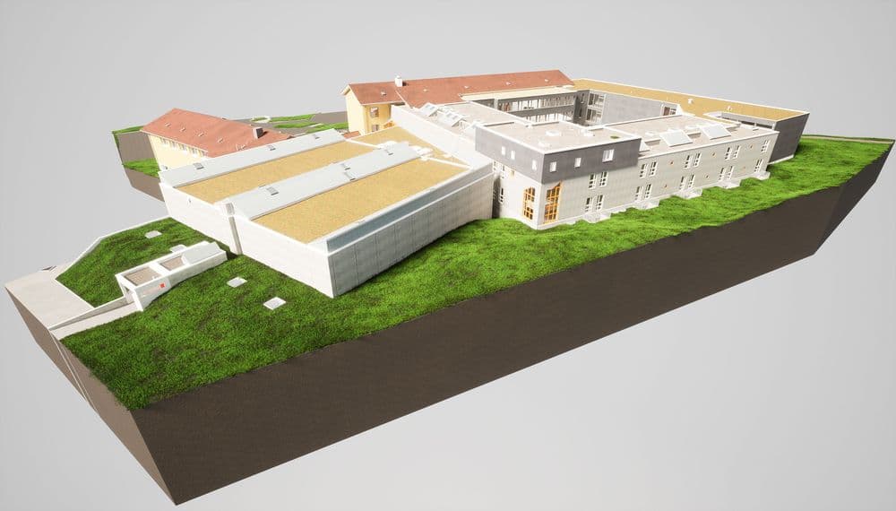
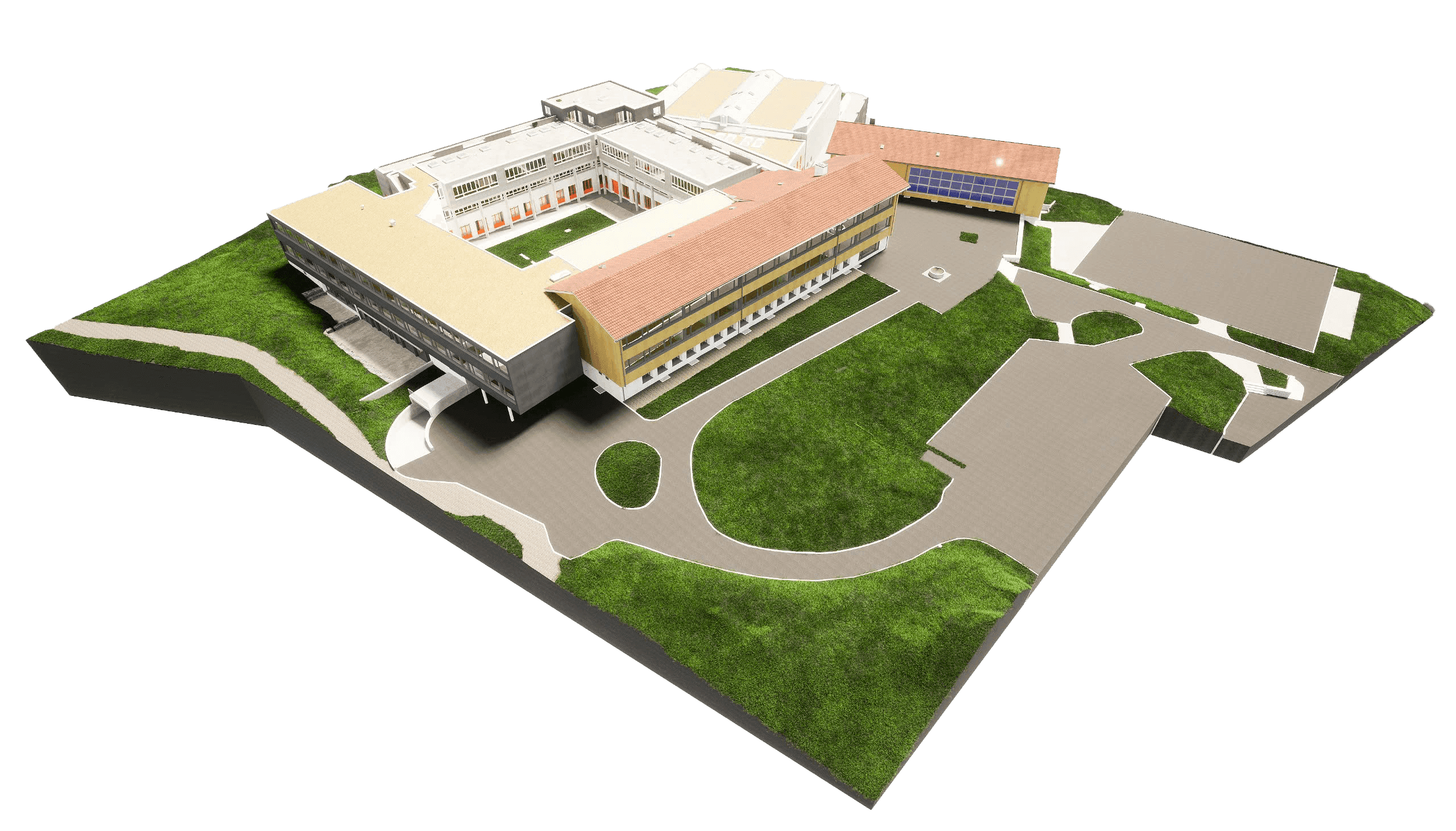
We conducted comprehensive surveying work on the school grounds in Richterswil. Using state-of-the-art 3D laser scanning technology, we precisely mapped the entire site and the existing buildings within a single workday.
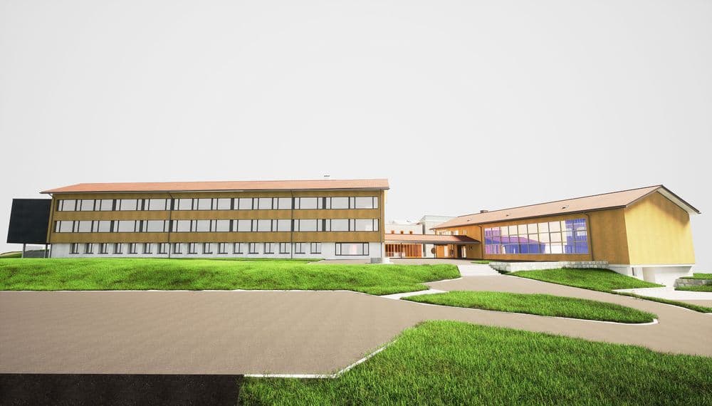
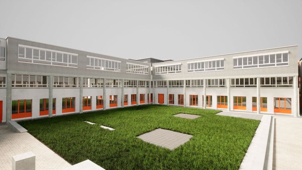
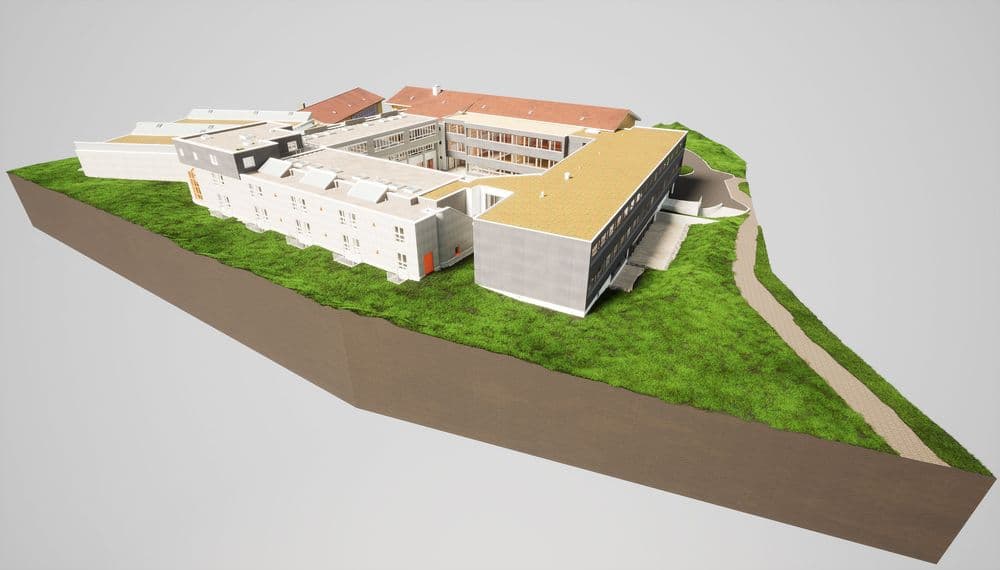
Based on the captured point cloud data, we created a detailed 3D model and derived precise 2D planning documents from it, including floor plans, sections, and elevations. This data serves as a reliable foundation for the planned renovation and expansion measures.
The benefits for the project:
- Accurate as-built documentation—no surprises during the construction phase
- Precise plans and models for reliable planning
- Efficient data processing throughout all planning phases
We conducted comprehensive surveying work on the school grounds in Richterswil. Using state-of-the-art 3D laser scanning technology, we precisely mapped the entire site and the existing buildings within a single workday.