More Blog Posts
Villa Digital
Engineering AG
Tittwiesenstrasse 21
7000 Chur
Alte Landstrasse 248
8708 Männedorf
Zugerstrasse 53
6340 Baar
Neugasse 12
9000 St. Gallen
4 Reasons Why You Should Choose 3D Laser Scanning
Whether it’s a renovation, restoration, or expansion—every construction project begins with a reliable assessment of the existing conditions. Inaccurate plans or missing information often lead to additional costs, schedule delays, and time-consuming rework.
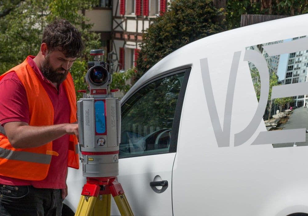
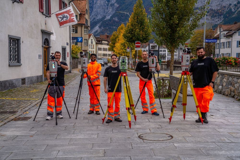
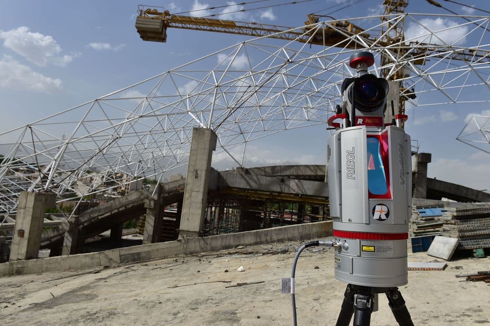
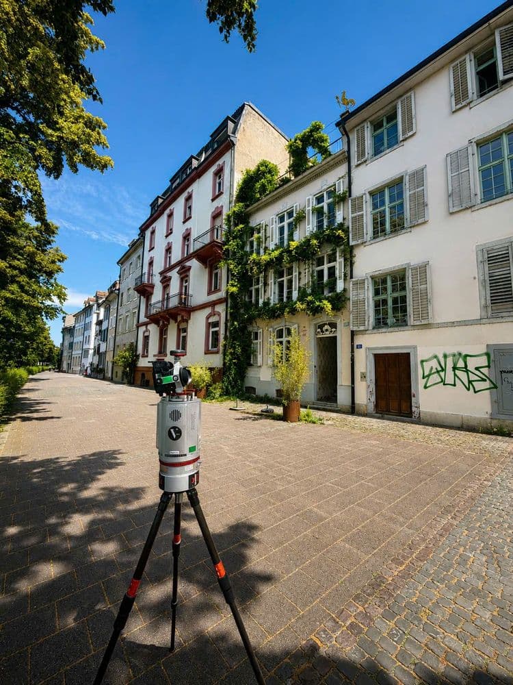
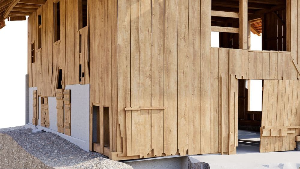
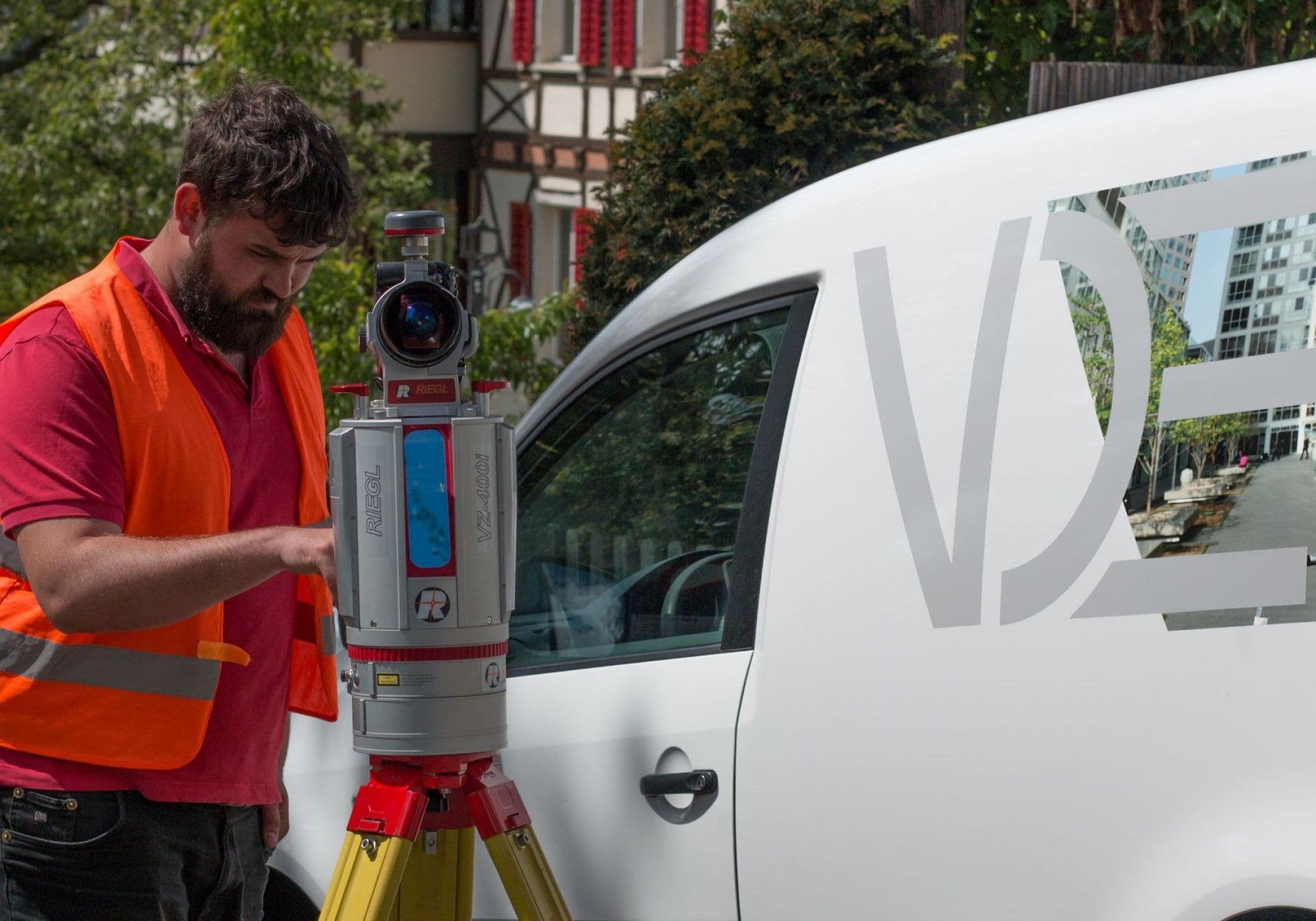
With modern 3D laser scanning, buildings, facades, and sites can be digitally captured non-contact, with millimeter precision, and in a very short time. The resulting point clouds form the basis for precise 2D plans, 3D CAD models, and BIM models.
Below, we outline four reasons why 3D laser scanning has become the standard for digital building surveying today.
1. Highest Precision in Building Surveying
A precise as-built survey is the foundation of any successful planning project.
With 3D laser scanning, millions of measurement points are captured and merged into a complete digital point cloud. This creates precise planning foundations that reflect the actual condition of a building with millimeter-level accuracy.
Compared to traditional surveying methods, significantly more information is captured, allowing even complex geometries, irregular structural elements, and hard-to-reach areas to be reliably documented.
Your benefits:
- Millimeter-precise as-built survey
- Complete capture of all visible components
- Fewer remeasurements
- Greater planning reliability
2. Fast data capture with minimal operational disruption
Modern 3D laser scanners capture several hundred thousand to over one million measurement points per second.
This allows even large buildings to be surveyed in a short amount of time. Many surveys can be conducted during normal operations without significantly disrupting employees or users.
This saves time and significantly reduces the organizational effort.
Your benefits:
- Short survey times
- Non-contact surveying
- Work can be performed while operations are ongoing
- Efficient surveying of large buildings
3. Fewer planning errors and greater cost certainty
Inaccurate as-built data is one of the most common causes of planning errors in renovation projects.
With a comprehensive digital as-built survey, crooked walls, varying heights, complex structural systems, or utility routing become apparent even before the actual planning phase begins.
This enables architects and specialist planners to make informed decisions and avoid costly surprises on the construction site.
Your benefits:
- Early identification of critical areas
- Fewer planning risks
- Greater cost certainty
- Reliable basis for decision-making
4. Digital Data for CAD and BIM
The data captured via 3D laser scanning can be seamlessly integrated into modern planning processes.
Depending on the project, we use the point cloud to create:
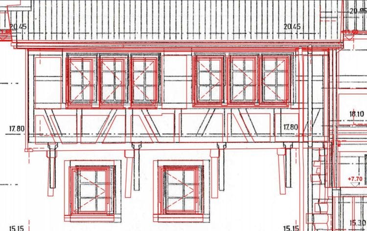
- 2D CAD drawings
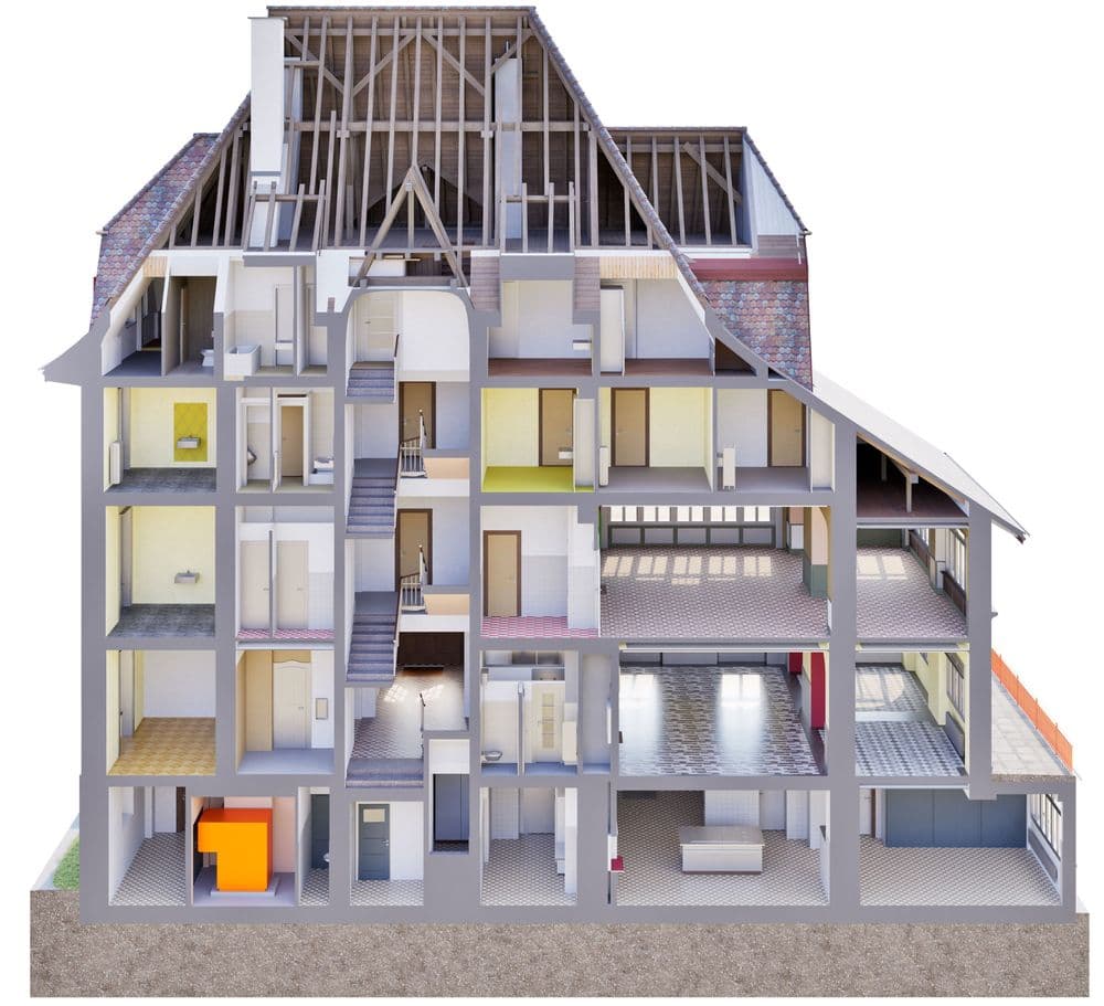
- 3D CAD models
- BIM models
- Facades
- Cross-sections
- Digital as-built models
Our models can be further processed in ArchiCAD, Revit, Vectorworks, Allplan, or as IFC files, among other formats. This ensures that all project participants work from a shared and precise data foundation.
Conclusion
Today, 3D laser scanning is far more than just a modern surveying method. It lays the foundation for confident decision-making, more efficient planning processes, and high-quality digital building models.
Thanks to its high precision, rapid data capture, and direct integration into CAD and BIM systems, 3D laser scanning reduces planning risks and saves time throughout the entire project lifecycle.
VDE supports architects, engineers, building owners, and real estate managers throughout Switzerland with precise digital as-built surveys for renovations, retrofits, and new construction projects.