More Blog Posts
Villa Digital
Engineering AG
Tittwiesenstrasse 21
7000 Chur
Alte Landstrasse 248
8708 Männedorf
Zugerstrasse 53
6340 Baar
Neugasse 12
9000 St. Gallen
Five historic buildings. One old town. One digital foundation.
5 properties, 1,178 scan points, and 1,928 modeling hours: VDE has fully digitized five historic buildings in Lenzburg’s old town for mph AG and modeled them as a deformation-resistant as-built reference.
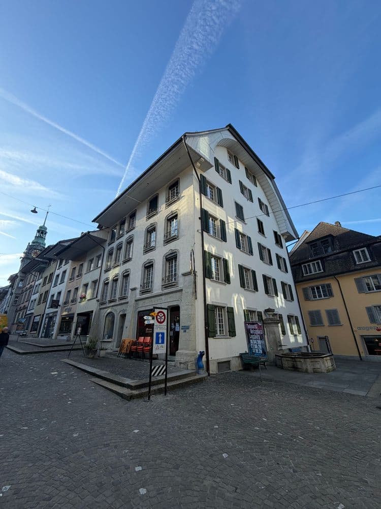
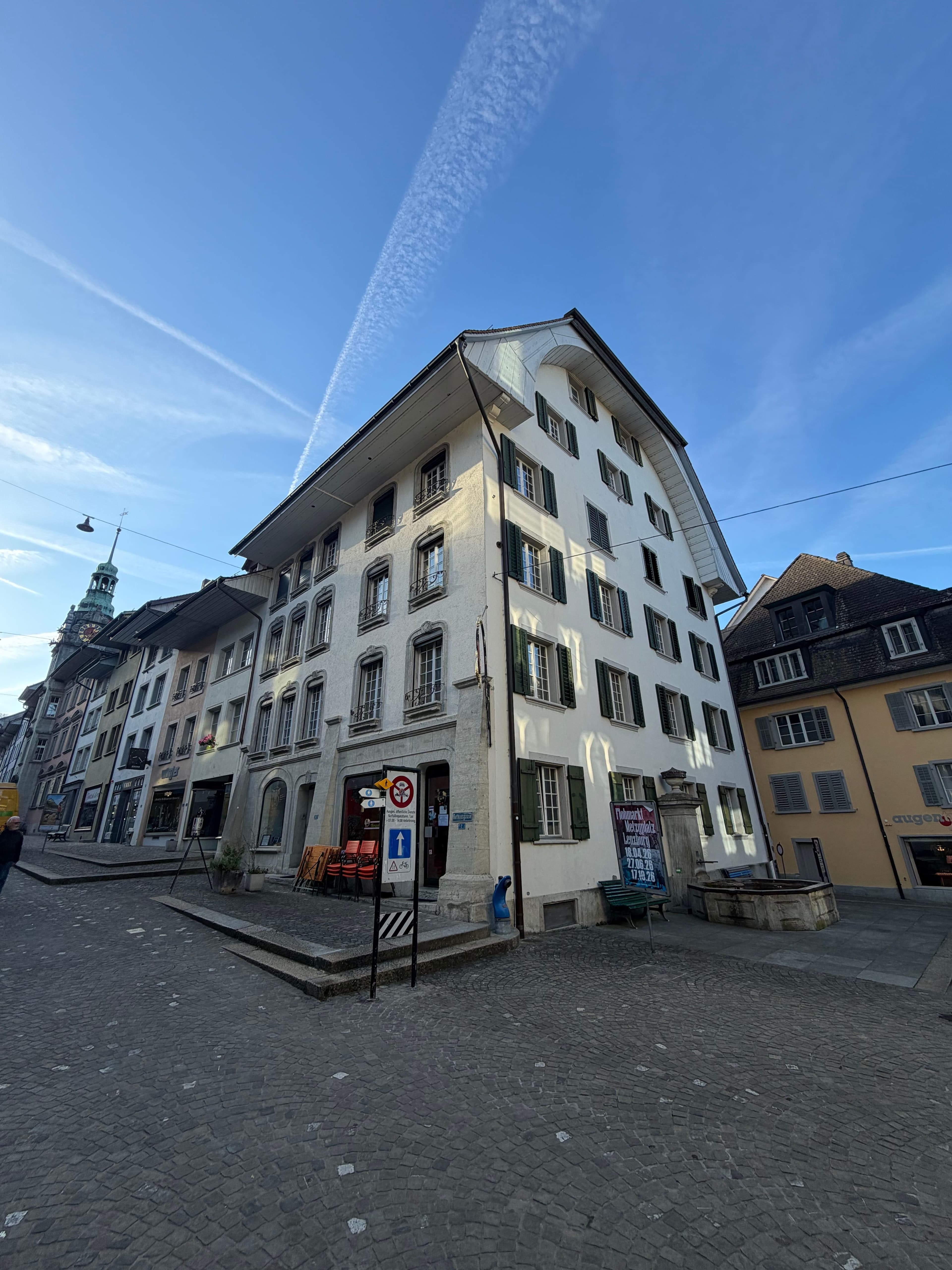
Anyone walking through Lenzburg’s old town will quickly notice that no two buildings are alike. Diverse facades, winding floor plans, striking rooflines, and organically developed building structures characterize the historic cityscape. It was precisely this diversity that made the project particularly challenging.
Commissioned by the esteemed architect Hansjörg Erb of mph AG, we were able to survey five historic properties using 3D laser scanning and create precise digital as-built models from the data. The goal was not only to capture the buildings geometrically accurately but also to depict their unique characteristics in a way that would allow architects and planners to build upon them reliably.
Lenzburg: Organically Evolved, Not Planned The old town of Lenzburg is one of the most significant historic districts in the canton of Aargau. Many buildings have been expanded, remodeled, and adapted for new uses over generations. What appears straightforward from the outside often reveals a complex structural reality on the inside.
Varying floor heights, crooked walls, non-rectangular rooms, old roof structures, staggered levels, and alterations from different eras are all part of the existing fabric here. Especially with historic properties, a simplified survey is rarely sufficient. What is needed is a foundation that realistically, comprehensibly, and precisely reflects the actual condition of the building.
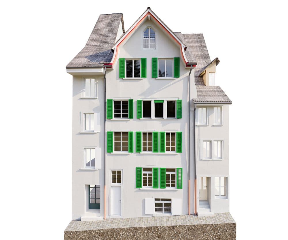
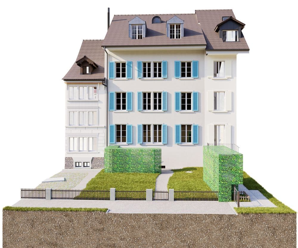
Five Buildings, Five Personalities The five properties surveyed are all located within Lenzburg’s old town, but differ significantly in layout, size, and complexity.
The figures clearly illustrate what is often true when surveying historic buildings: The number of scan positions alone says little about the actual modeling effort required.
A good example of this is the comparison between Property C and Property E. With 267 scan positions, Property E required significantly more scans than Property C, which had 205 scan positions. Nevertheless, the modeling effort for Property E—at 327 hours—was slightly lower than that for Property C, which took 339 hours. Therefore, it is not only the building’s size or the number of scans that are decisive, but also its internal structure, level of detail, roof shape, accessibility, and structural modifications to the existing building.
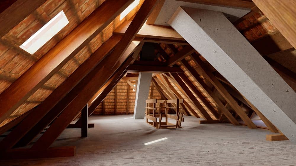
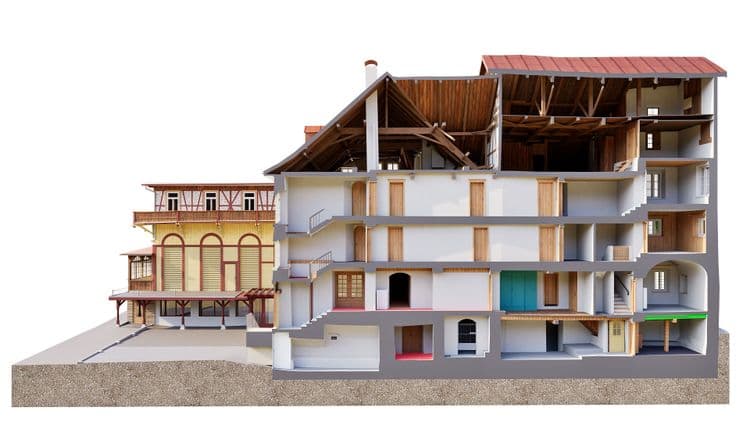
Property D was particularly challenging. With 387 scan positions and 514 modeling hours, it was the most complex property in the project. The high vertical division, multiple stacked attic floors, and the building’s organic structure required particularly careful data capture and modeling.
Property A, on the other hand, demonstrates that even a more compact historic townhouse can require a significant amount of modeling effort. Historic wall alignments, varying wall thicknesses, and non-rectangular rooms make even smaller properties challenging.
Project Timeline Spanning Several Weeks The surveying and analysis of the five buildings took place in stages over several weeks. This allowed the individual properties to be carefully coordinated and efficiently integrated with one another.
Property A was surveyed, modeled, and delivered within approximately 5 calendar weeks. Property B and Property D each took about 7 calendar weeks. Property C was completed within approximately 4 calendar weeks, while Property E took about 5 calendar weeks.
This phased approach was particularly important because, although the buildings were processed individually, they are physically located within the same historic city center. This allowed preparatory steps to be combined effectively. For example, while surveying one building, it was possible to prepare georeferencing points for another building. This facilitated the subsequent survey and ensured a smoother and more efficient workflow on-site.
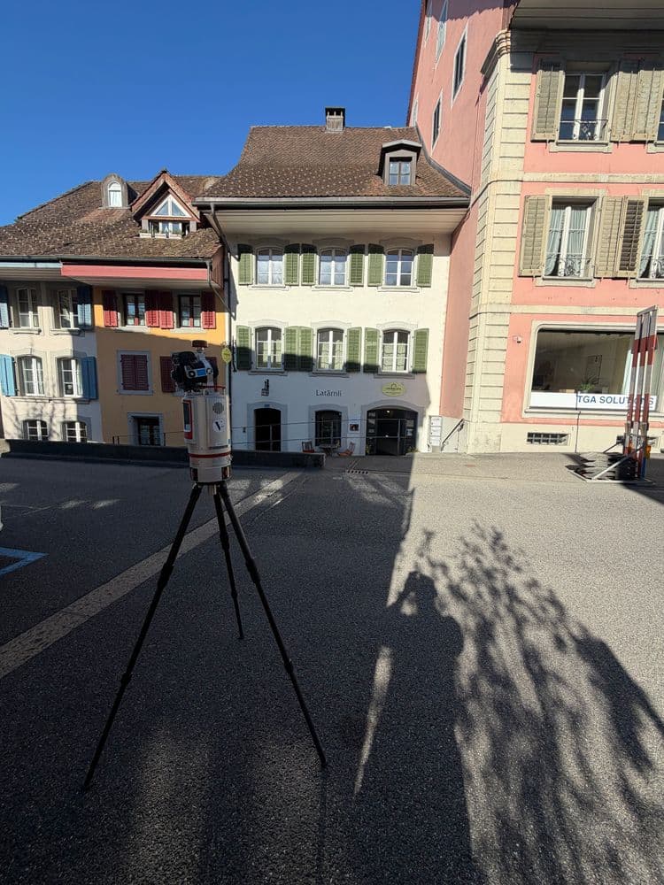
Surveying in the Historic District Context Riegl laser scanners were used for the survey. All five buildings were fully surveyed both inside and out. This resulted in a dense and precise point cloud that served as the basis for further processing.
Surveying on-site is particularly challenging in an old town. Tight spaces, varied access points, winding interior layouts, and complex facade areas require careful planning of scan positions. At the same time, the proximity of the buildings also offers advantages: individual work steps could be prepared across multiple properties and thus implemented more efficiently.
In total, 1,178 scan positions were recorded across all five properties.
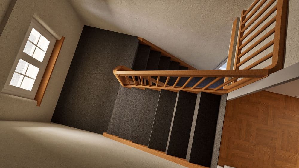
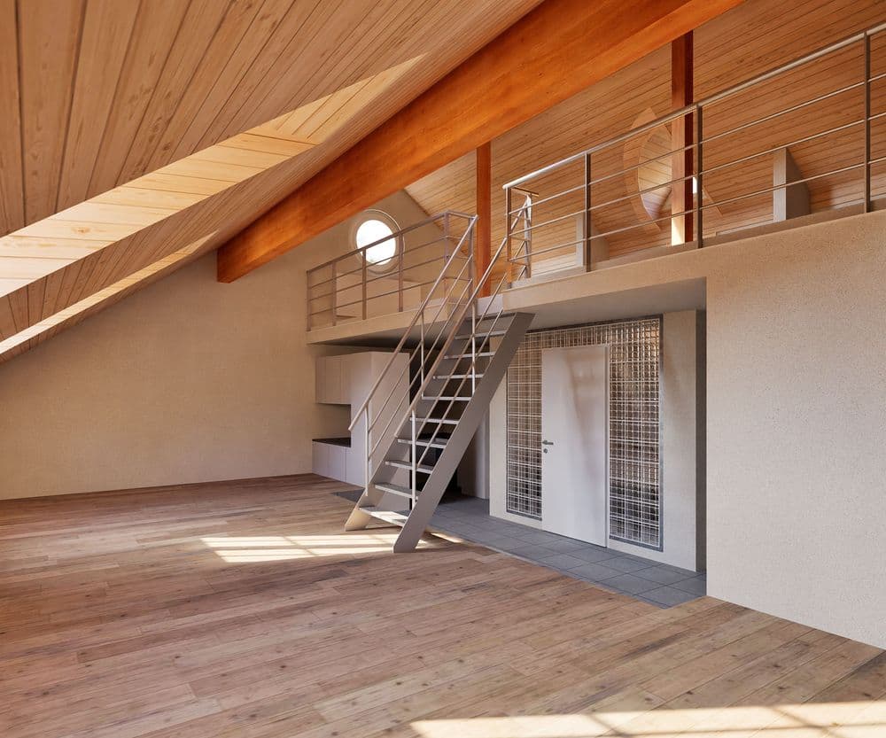
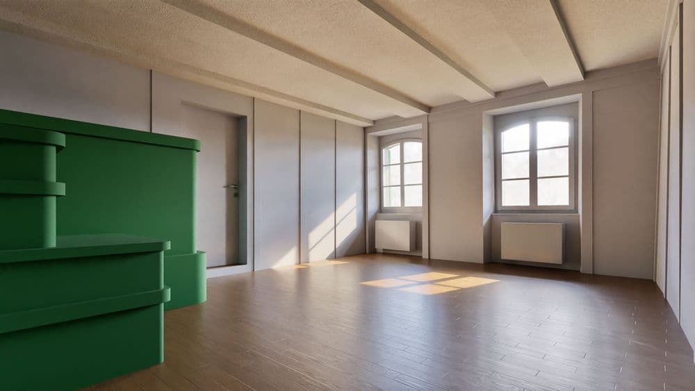
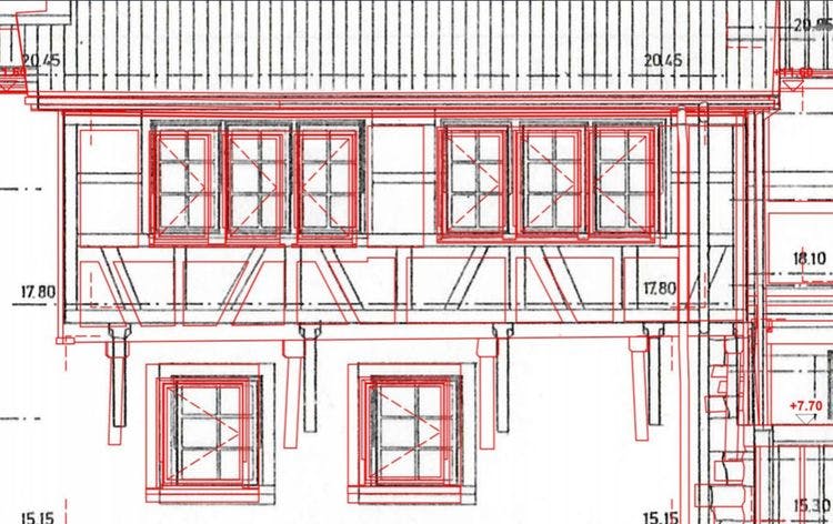
From Point Cloud to Deformation-Compensated As-Built Model Based on the registered point clouds, the buildings were modeled in ArchiCAD to account for deformation. The result was detailed 3D as-built models, including the site, facades, and roofscapes. In addition, floor plans, sections, and facade elevations were created in accordance with the client’s requirements.
The deliverables were provided in ArchiCAD, DWG, DXF, and PDF formats, as well as based on the client’s drawing template.
The total modeling effort amounted to 1,928 hours. Old roof trusses, varying wall thicknesses, offset levels, and structural modifications from different decades were directly represented in the model. The as-built data was created with a tolerance of ±2 cm.
Why Precise Existing Condition Data Is Critical Renovations and alterations to existing buildings stand or fall on the quality of the available data. Inaccurate or missing plans often lead to extra work during planning, uncertainties on the construction site, and additional clarifications during construction.
3D laser scanning provides a reliable foundation here. What used to require time-consuming manual measurements can now be captured efficiently and entirely digitally. The point cloud is used to create a precise model that accurately reflects the building’s actual condition.
This level of accuracy is particularly crucial for historic buildings. After all, every building tells its own architectural story. Our task is to capture this story with geometric precision and translate it into a digital foundation that can be used for further planning.
We survey everything that doesn’t put up a fight.