More Blog Posts
Villa Digital
Engineering AG
Tittwiesenstrasse 21
7000 Chur
Alte Landstrasse 248
8708 Männedorf
Zugerstrasse 53
6340 Baar
Neugasse 12
9000 St. Gallen
Having a Building Surveyed: Process, Costs, and Options
Having a Building Surveyed—What’s Involved?
Anyone planning a renovation or remodeling project is familiar with the problem: The existing plans no longer match reality—or there aren’t even any usable as-built drawings left.
This quickly raises the question of how to have a building professionally surveyed in the first place—and what can actually be done with the data afterward. The answer to this question has changed significantly in recent years. Today, building surveying is far more than just traditional measurement with a tape measure and a distance laser.
What’s Possible Today
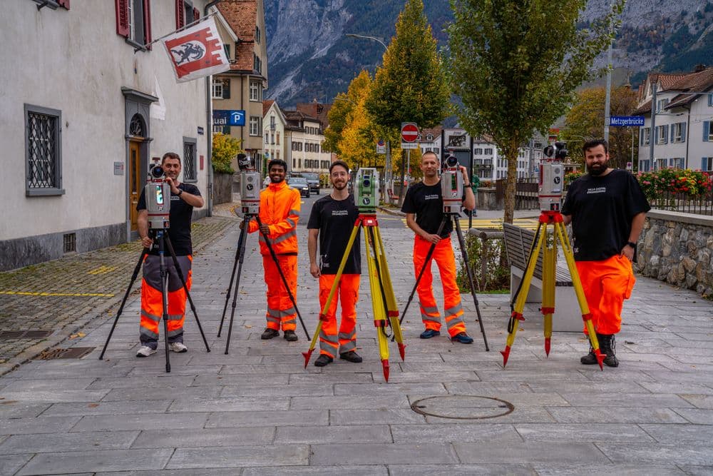
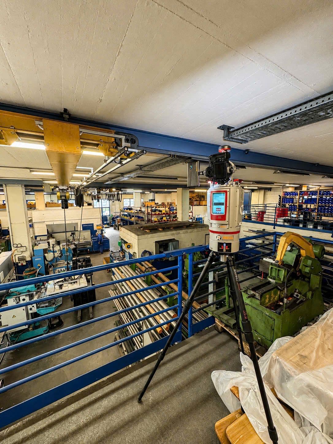
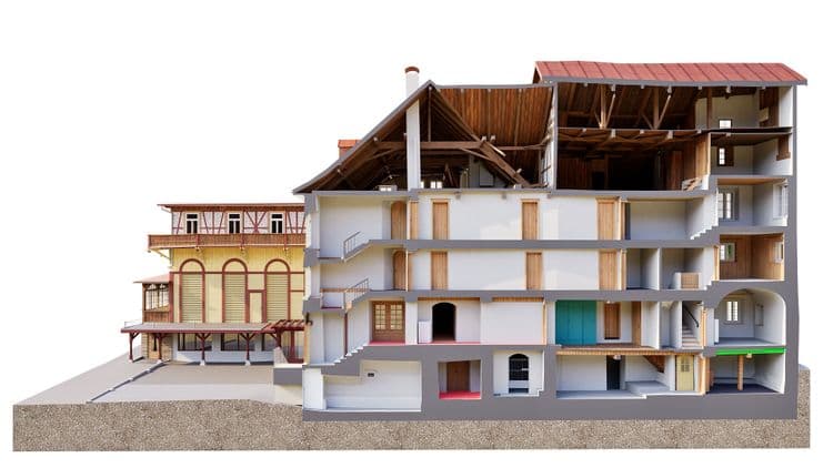
With 3D laser scanning, an existing building can be captured entirely digitally. Depending on the project, floor plans, sections, facades, or complete 3D and BIM models are derived from the resulting point cloud. The difference from traditional manual measurement lies in the details: it’s no longer just a matter of noting down individual, selected measurements. The entire visible structure is digitally documented—as a result, many dimensions can still be derived directly from the survey data even after the fact, without having to remeasure on-site.
When a Survey Is Appropriate
Whenever reliable planning data is lacking for an existing building. This applies to renovations and retrofits as well as additions, attic conversions, energy-efficiency retrofits, repurposing, facade planning, or the digitization of entire real estate portfolios. Even if old plans are available, this does not automatically mean that the building still looks exactly the same today. Walls are moved, doors are altered, and systems are added—and in practice, such changes are rarely consistently updated in the plans. A survey, therefore, does not show how a building was originally planned. It shows how it actually stands today.
The point cloud: more than just measurement data
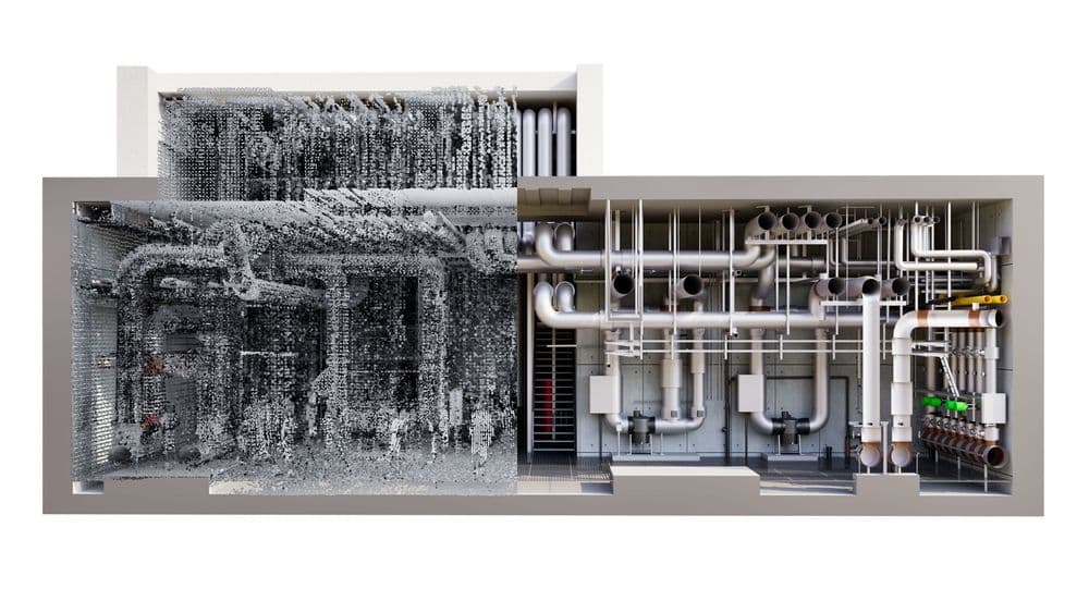
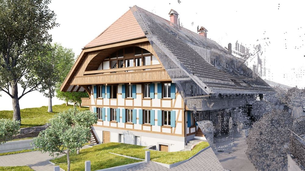
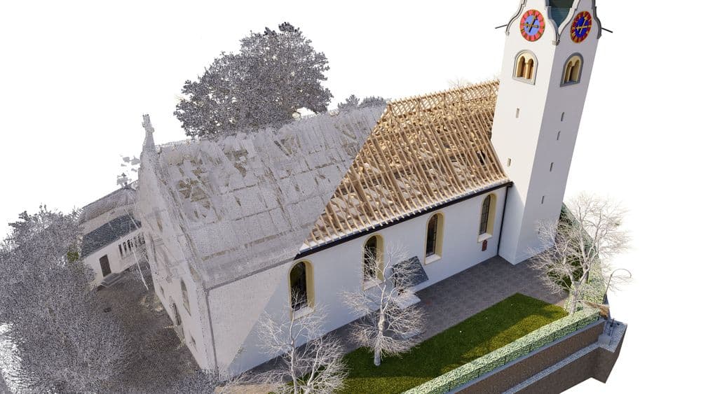
A point cloud consists of millions of three-dimensional measurement points that together represent the geometry of the surveyed building—a highly precise digital impression of the existing structure. But the work isn’t done yet. Only from the point cloud are floor plans, sections, facades, elevation checks, and 3D as-built models created. It serves as the measurement basis—not the finished plan itself.
From Scan to Floor Plan, Section, and Model
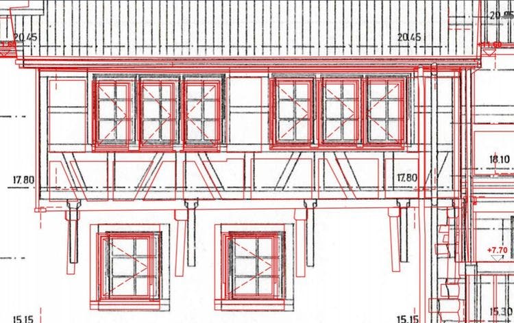
The final output depends on the project. Typical outputs include floor plans, building sections, elevation drawings, roof plans, 3D as-built models, and BIM models, formatted for ArchiCAD, Revit, Vectorworks, Allplan, or AutoCAD—depending on which system our clients use. Those planning only minor adjustments often find that current floor plans and sections are sufficient. For larger renovations or BIM projects, a three-dimensional as-built model is usually worthwhile. The important thing is not to order as much data as possible—but to obtain the data that is actually needed for your own planning.
Scan-to-BIM: From Measurement Point to Building Component
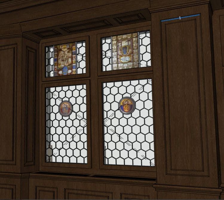
Scan-to-BIM describes the process from surveying an existing building to the finished 3D or BIM model. The point cloud serves as a geometric reference, based on which walls, floor slabs, roofs, windows, doors, and other building components are modeled. The result is therefore not a freely interpreted digital model, but one based on the survey of the actual existing building. How Much Does a Building Survey Cost?
There is no one-size-fits-all answer here, as much as we’d like to provide one. The cost depends heavily on the building and the desired end product: size, number of stories, geometry, accessibility, scope of the survey—and, above all, the desired analysis. The on-site survey is only part of the work. A large portion of the work is done in the office during the registration, verification, and analysis of the data. Therefore, a quote should always clearly specify: What will be surveyed—and what will ultimately be delivered?
Surveying While the Building Is in Use
Does the building need to be empty for this? No. In principle, buildings can be surveyed even while they are in use. However, to ensure the survey is as complete as possible, the relevant rooms should be accessible. For schools, hotels, apartment buildings, or administrative buildings, we therefore usually coordinate the process in advance with the on-site managers.
Old Plans and New Surveys—No Contradiction
Can old plans still be used? Yes, and they can even be very valuable. Old plans and a new survey simply serve different purposes. The scanner documents what is visible today. Old plans, on the other hand, sometimes contain information that cannot be measured from the outside—wall constructions, structural details, and former building structures. In the end, the combination of both sources often provides the best foundation: The survey provides the current geometry, while existing documents fill in the gaps where the laser cannot reach.
Building Surveying for Renovation and Restoration
In a renovation project, the planning process differs from that of new construction: it must be based on the existing building, not the other way around. Even minor deviations can affect new building components, connections, facades, or the entire plan. Accurate building surveying is therefore not an additional preliminary step that can be skipped. It serves as the data foundation for everything planned afterward—and it is precisely this foundation that VDE Villa Digital Engineering AG provides for building owners, architectural firms, and planning teams throughout Switzerland.
In a Nutshell
Anyone who has read this far already understands the key points. Here’s a quick summary for reference:
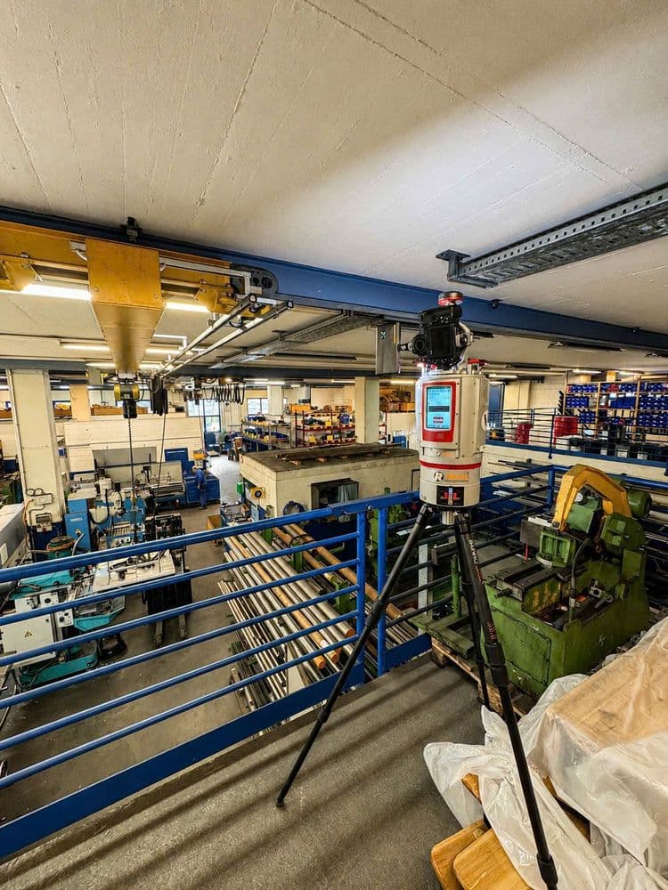
- Process: A 3D laser scanner captures the building from numerous vantage points. The measurement data is then used to generate floor plans, cross-sections, facades, or a complete 3D model.
- Costs: Cannot be estimated as a flat rate—size, accessibility, and the desired analysis determine the effort required. VDE prepares a customized quote for each project.
- Historic Buildings: Laser scanning is particularly valuable for these structures because they often deviate from their original plans and frequently feature irregular geometries.
- BIM Models: A BIM model can be derived from a point cloud—this process is called “scan-to-BIM.”
- Scope of Services: VDE performs building surveys throughout Switzerland—ranging from point clouds and 2D as-built plans to complete 3D or BIM models.