
More Blog Posts
Villa Digital
Engineering AG
Tittwiesenstrasse 21
7000 Chur
Alte Landstrasse 248
8708 Männedorf
Zugerstrasse 53
6340 Baar
Neugasse 12
9000 St. Gallen
How Does 3D Laser Scanning Work? A Simple Explanation of Precise Building Surveying
Anyone looking to remodel, renovate, or digitally document an existing building needs a reliable basis for planning. This is exactly where 3D laser scanning comes into play. This technology makes it possible to capture buildings, facades, rooms, and sites non-contact and with millimeter precision, and to create accurate CAD or BIM models from the data.
But how does 3D laser scanning actually work? What advantages does this method offer over traditional surveying methods, and what kind of data does it produce? In this article, we’ll explain the entire process step by step.
What Is 3D Laser Scanning?
3D laser scanning is a modern surveying method for digitally capturing existing buildings and structures. Within just a few minutes, a laser scanner measures millions of points on all visible surfaces and uses them to create what is known as a point cloud.
This point cloud digitally maps the geometry of a building with high accuracy and serves as the basis for:
- 2D CAD plans
- 3D CAD models
- BIM models
- Facades
- Cross-sections
- Site Surveys
- Digital as-built models
Since the scanning process is non-contact, 3D laser scanning is particularly well-suited for existing buildings, historic structures, industrial facilities, and complex structures.
What are the advantages of 3D laser scanning?
Compared to traditional surveying methods, 3D laser scanning offers numerous advantages.
- Millimeter-precise as-built documentation
- Non-contact surveying
- Rapid scanning of large buildings
- Complete documentation of all visible structural components
- Fewer re-measurements
- Greater planning reliability
- Digital processing in CAD and BIM
Especially for renovations and retrofits, a complete digital as-built survey significantly reduces the risk of costly planning errors.
How does 3D laser scanning work?
1. Georeferencing
Before the actual scanning begins, reference and control points are surveyed using a total station.
These form the coordinate framework for all subsequent scan positions and ensure that all data fits together precisely.
2. Surveying the Site and Facades
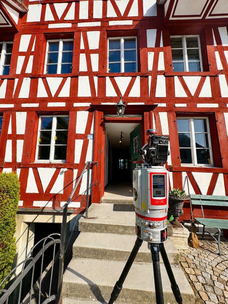
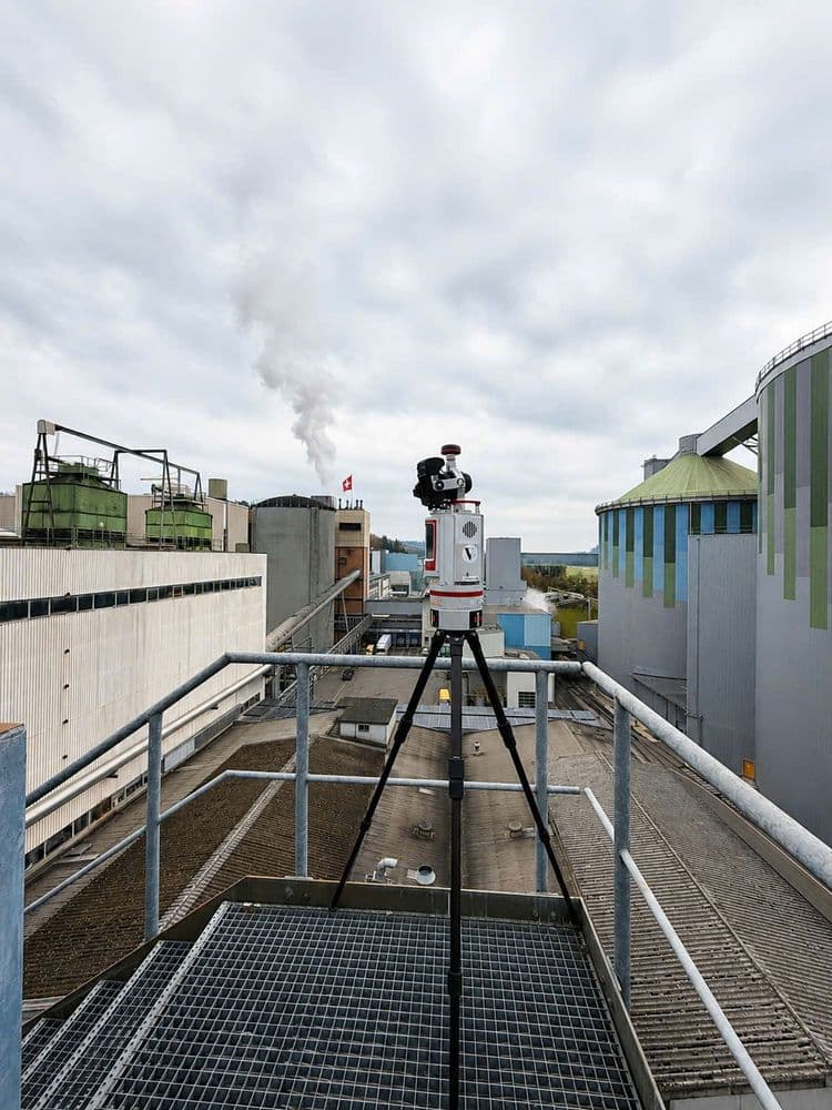
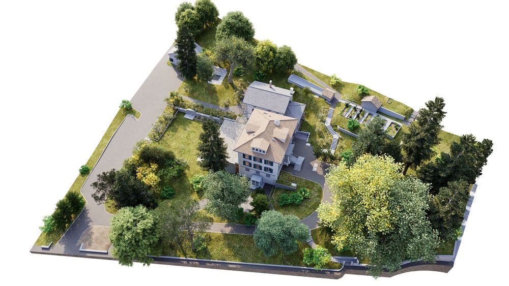
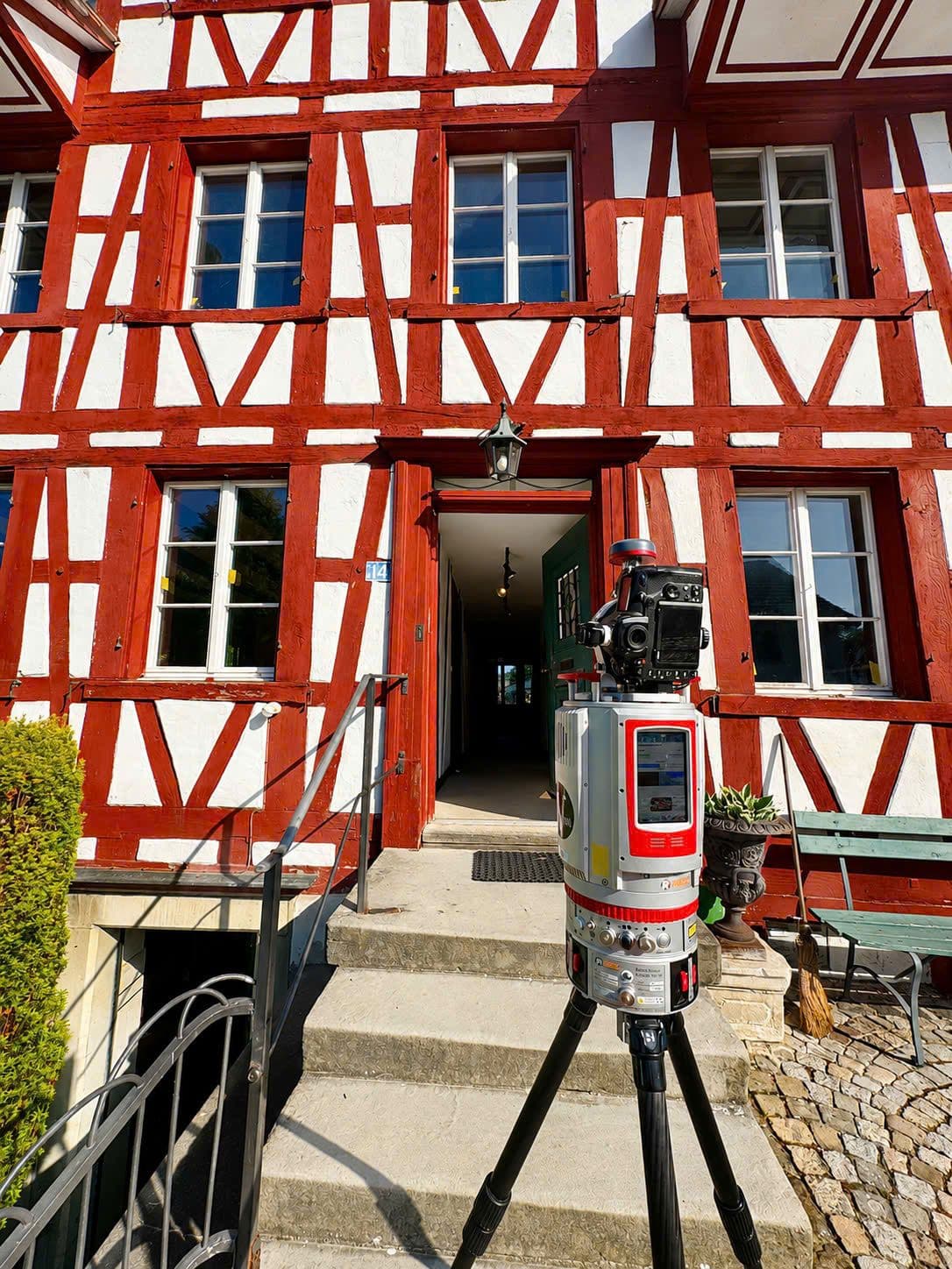
Next, the facades, roof surfaces, and the surrounding site are surveyed.
State-of-the-art 3D laser scanners capture several hundred thousand measurement points per second and have a range of several hundred meters. This allows even large buildings and complex facilities to be surveyed efficiently.
3. Digital Survey of Interior Spaces
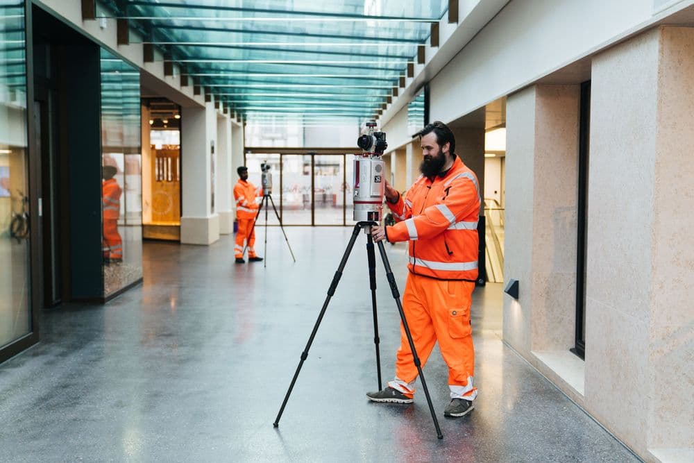
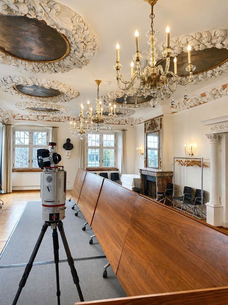
In the next step, all interior spaces are scanned.
The scanner is set up in several positions and creates high-resolution images of the entire environment within a few minutes. Even complex room geometries are fully documented.
Since modern devices comply with Laser Class 1 standards, scanning can often be performed even while the building is in normal operation.
4. Registration of the Point Cloud
Once the survey is complete, all individual scan positions are precisely aligned with one another. This creates a unified three-dimensional point cloud of the entire building. This is followed by quality checks and fine registration to ensure that all data aligns exactly.
What data is generated from a 3D laser scan?
The point cloud forms the basis for a wide variety of planning documents.
2D CAD Plans
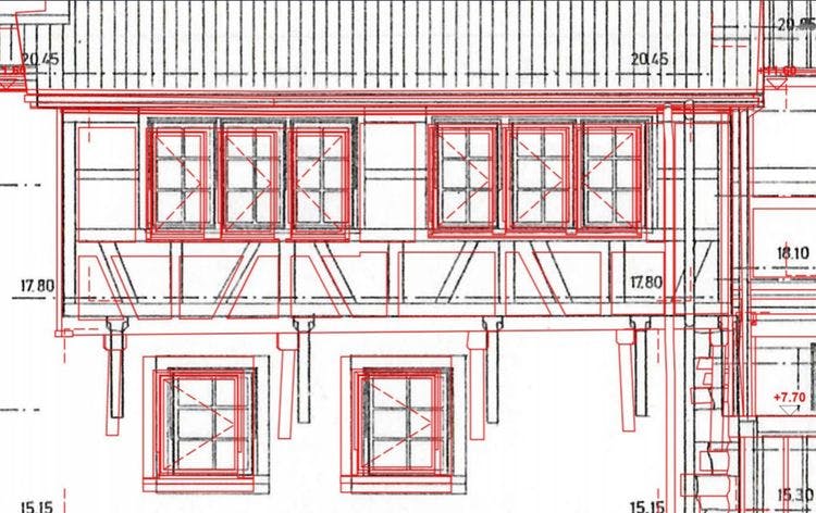
Floor plans, sections, and elevations can be generated directly from the point cloud and serve as a reliable basis for renovations and retrofits.
3D CAD Models
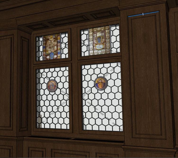
A 3D CAD model digitally represents the building with geometric precision.
Architects can use it to create any cross-sections, elevations, and detailed plans, and plan changes much more efficiently.
BIM Models
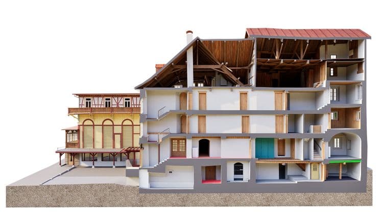
For BIM projects, the point cloud is converted into an intelligent building model.
In addition, existing as-built plans and other building data can be integrated, ensuring that all project stakeholders work from a shared information base.
For which projects is 3D laser scanning suitable?
3D laser scanning is suitable for, among other things:
- Residential buildings
- Multi-family residential buildings
- Industrial facilities
- Administrative buildings
- Schools
- Churches
- Historic buildings
- Infrastructure projects
- Renovations
- Renovations
- Expansions
- BIM projects
Thanks to its high accuracy and comprehensive data capture, this method provides the ideal foundation for virtually any construction project involving existing buildings.
Why VDE Relies on 3D Laser Scanning
For many years, VDE has been creating highly precise digital as-built surveys throughout Switzerland using state-of-the-art 3D laser scanning technology.
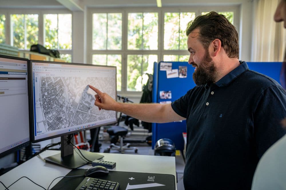
Depending on the project, the resulting point clouds are processed into 2D CAD drawings, 3D CAD models, or BIM models, providing a reliable foundation for architects, engineers, and building owners.
A precise as-built survey helps reduce planning risks, optimize construction processes, and implement renovation projects more efficiently.