More Blog Posts
Villa Digital
Engineering AG
Tittwiesenstrasse 21
7000 Chur
Alte Landstrasse 248
8708 Männedorf
Zugerstrasse 53
6340 Baar
Neugasse 12
9000 St. Gallen
How Does a Building Survey Work? An Explanation of the Process, Technology, and 3D Laser Scanning
How Does a Building Survey Work? A Look Behind the Scenes
Anyone looking to remodel, renovate, or expand a building first needs a precise as-built survey. A building survey provides the foundation for architects, engineers, and planners. Thanks to modern 3D laser scanning, a building can now be digitally captured non-contact, with millimeter precision, and in a short amount of time.
But how does a building survey actually work? In this article, we’ll walk you through the entire process—from preparation to the finished CAD or BIM model.
When is a building survey needed?
Building surveying is always used when existing buildings need to be precisely documented. Typical applications include:
- Renovations and retrofits
- Expansions and additions
- Historic preservation
- BIM projects
- Digitization of existing buildings
- Creation of 2D plans or 3D models
The more precise the initial data is, the more reliable and efficient the entire planning process will be.
Step 1: Project Preparation
Every successful building survey begins with careful preparation. Even before the first scan, existing documentation is reviewed, suitable control points are defined, and the survey process is planned.
Organizational details such as access, keys, or appointments with owners and tenants are also clarified in advance. Good preparation saves time on-site and prevents unnecessary rework.
Step 2: Arrival and Setup on Site
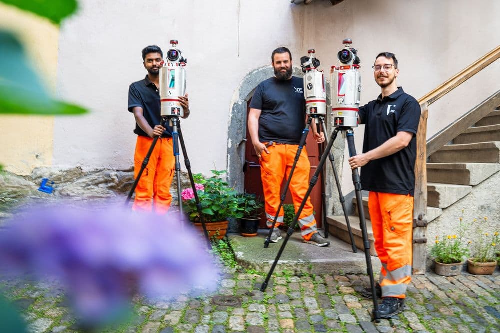
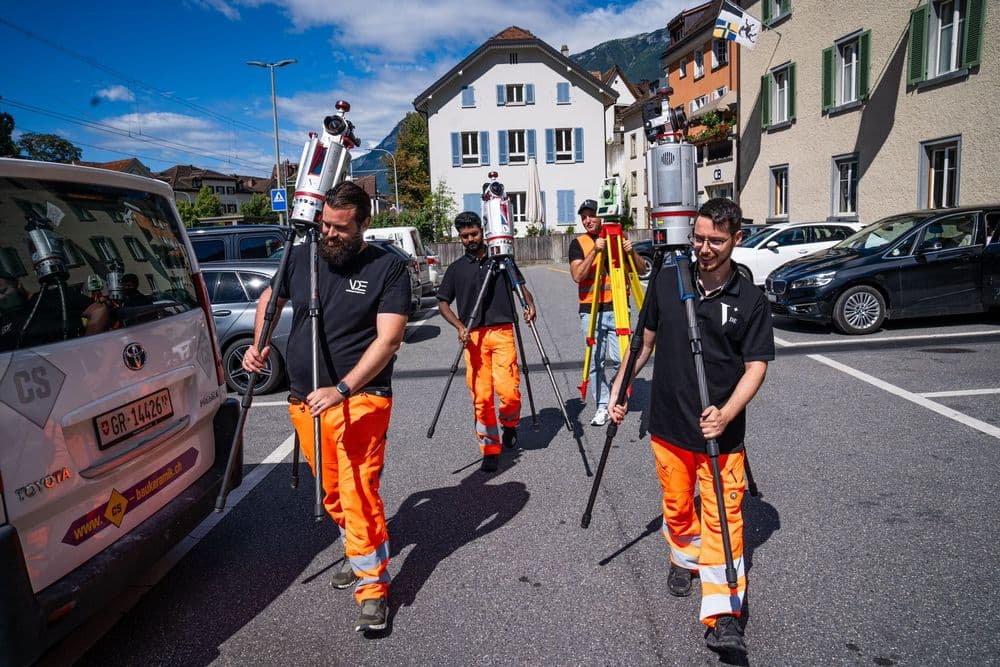
On the day of the survey, the property is discussed together and the procedure is determined. The survey team then sets up the measuring equipment and checks all systems.
Depending on the project, 3D laser scanners, total stations, or other surveying instruments are used. Before beginning, all safety-related and project-specific points are reviewed once more.
Step 3: Precise Measurement of Control Points
To ensure that all scans fit together precisely later on, reference and control points are first surveyed.
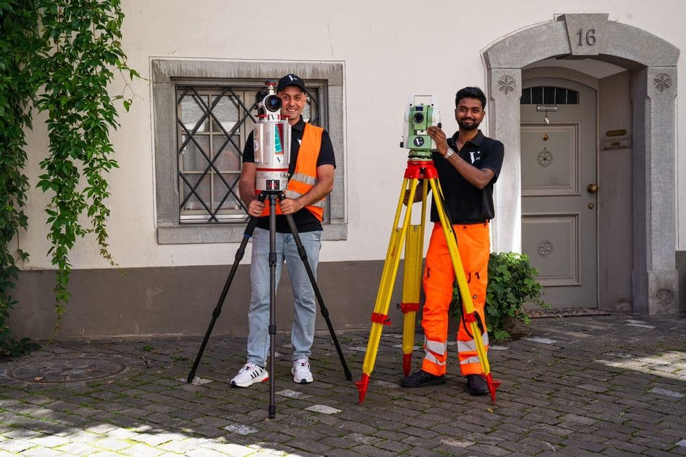
These form the spatial foundation of the entire survey. The combination of a total station and a laser scanner produces precisely georeferenced data that can be reliably processed further.
Step 4: Digital Data Capture with 3D Laser Scanning
Now the actual building survey begins.
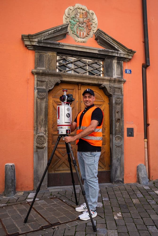
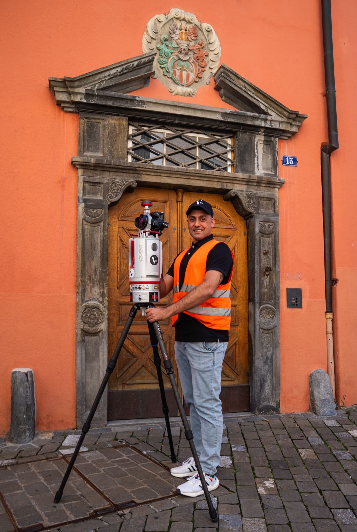
The 3D laser scanner captures millions of measurement points within just a few minutes and uses them to create a highly precise point cloud. Depending on the building, numerous scan positions are recorded to ensure that all rooms, facades, and details are fully documented.
Even hard-to-reach areas or complex building structures can be reliably captured in this way.
Step 5: Quality Control During Data Collection
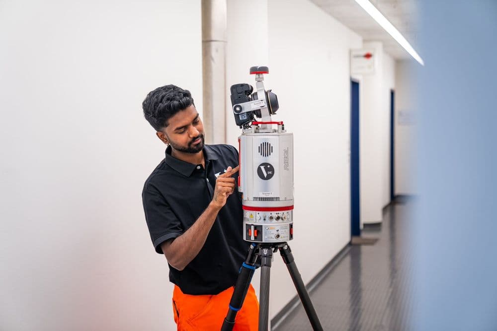
Surveyors continuously monitor the quality of the data right on the construction site.
Missing areas or incomplete scans are immediately identified and corrected. This ensures that no additional on-site visits will be necessary later on.
This continuous quality control is an important part of any professional building survey.
Step 6: Analysis and Creation of Planning Documentation
Once the survey is complete, all scans are registered and merged into a single point cloud.
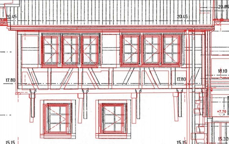
Based on this data, our team creates the following, depending on the project:
- 2D floor plans
- Facades
- Sections
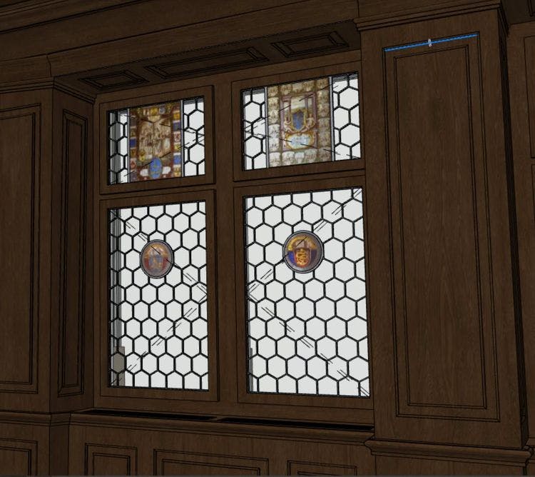
- 3D CAD models
- BIM models
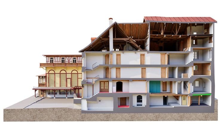
- Digital as-built models
In addition, upon request, our clients receive access to a 360° point cloud viewer, which allows them to take a virtual tour of the building at any time.
Why Precise Building Surveying Is So Important
An accurate as-built survey reduces planning risks, prevents surprises on the construction site, and provides a reliable foundation for all subsequent planning steps.
Especially when renovating existing buildings, the quality of the survey often determines the success of the entire project.
Using state-of-the-art 3D laser scanning, experienced surveying teams, and meticulous quality control, VDE provides precise planning data for architects, engineers, and building owners throughout Switzerland.