More Blog Posts
Villa Digital
Engineering AG
Tittwiesenstrasse 21
7000 Chur
Alte Landstrasse 248
8708 Männedorf
Zugerstrasse 53
6340 Baar
Neugasse 12
9000 St. Gallen
Surveying Historic Buildings Using 3D Laser Scanning
Heritage Preservation Meets 3D Surveying – How Historic Buildings Are Digitally Preserved
Historic buildings tell stories—of past construction methods, of renovations spanning generations, and of details that can no longer be fully captured in any modern blueprint.
This raises a particular challenge for historic buildings: How can the current condition be precisely documented without altering or even damaging the historic fabric? For us at VDE, the answer is clear—it’s called 3D laser scanning.
Historic buildings are rarely straight
Anyone who regularly surveys existing buildings knows this: Reality rarely fits perfectly into a grid. This is especially true for historic structures. Walls are not exactly at right angles, ceilings may be sloped, and facades feature projections, ornamentation, and small irregularities. Roof trusses have been modified over decades, and staircases and vaults rarely follow a simple, standard geometry. On top of that, existing plans are often outdated or show only an earlier state of the building. Before a decision can be made about renovation or remodeling, it must therefore first be clear what the building actually looks like today.
A non-contact process
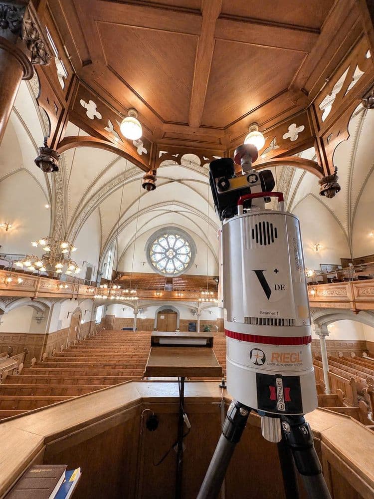
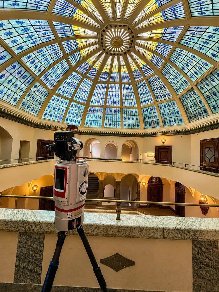
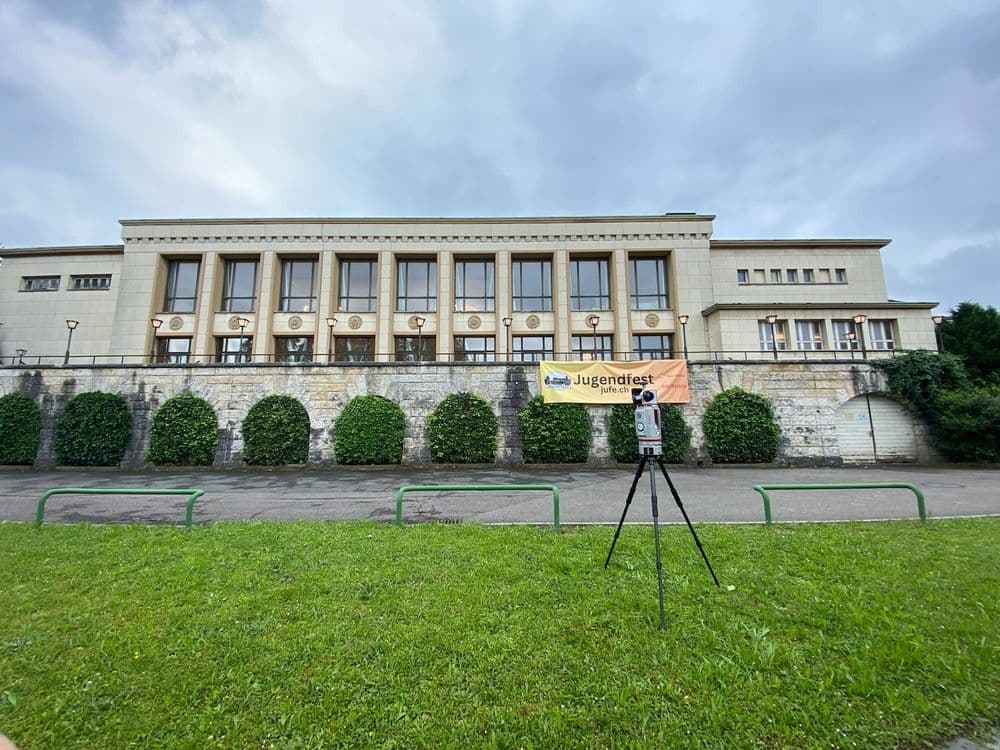
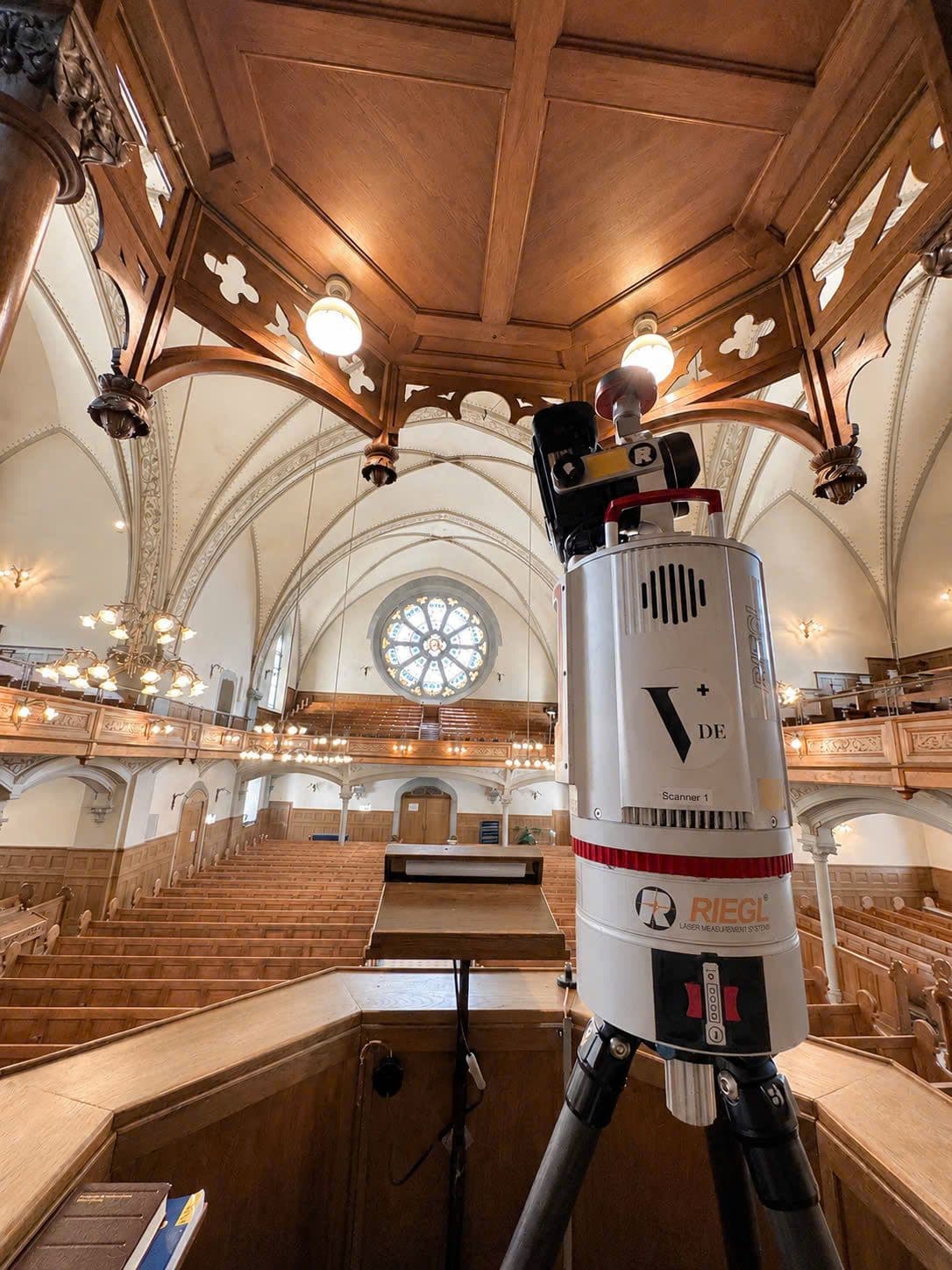
In 3D laser scanning, the scanner is set up at various positions in and around the building. From millions of measurement points, a three-dimensional point cloud is generated—a highly precise digital impression of the existing structure. For historic buildings, one advantage stands out above all others: the scanning process is completely non-contact. No building component needs to be altered or damaged in the process. When dealing with stucco elements, natural stone facades, wooden structures, or valuable interiors, this is often the very prerequisite for even considering a survey.
What the Data Yields
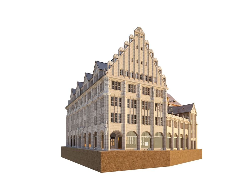
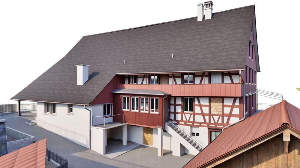
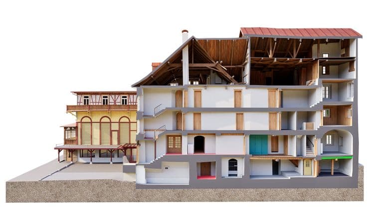
On-site surveying is only the first step. Depending on the project, the finished point cloud is used to generate floor plans, building sections, facade views, roof plans, detailed drawings, or complete 3D and BIM as-built models. Which analysis makes sense depends heavily on the project. A facade renovation requires different information than a comprehensive remodeling project. That’s why we clarify, even before the survey begins, which planning basis will actually be needed later on.
Two sources, a more complete picture
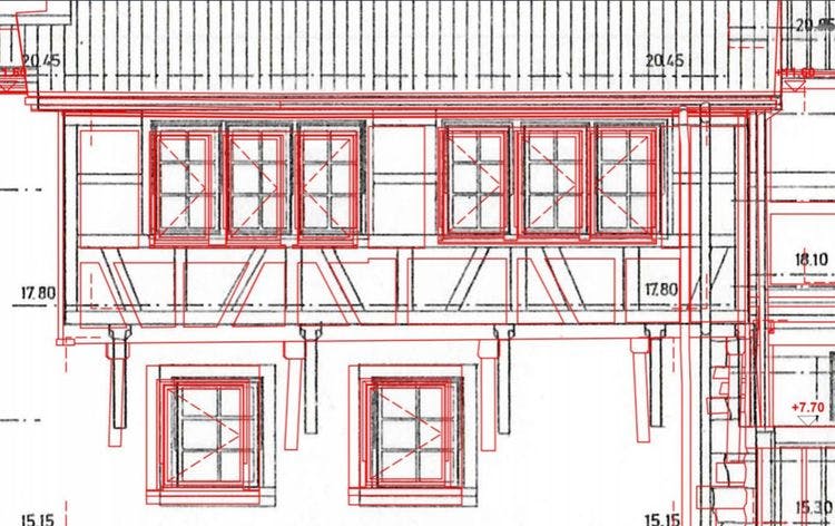
For historic buildings, old construction plans, archival documents, or earlier surveys are often available. These are valuable documents—but they do not necessarily reflect the current condition. Over decades or centuries, walls have been moved, openings closed, additions built, and floors repurposed. The question, therefore, is not: old plan or new survey. Both have their place. The current survey shows the visible, present-day structure. Historical documents provide what can no longer be measured—earlier construction conditions, concealed structures. Only together do they yield a truly complete picture.
Scan-to-BIM in Historic Buildings
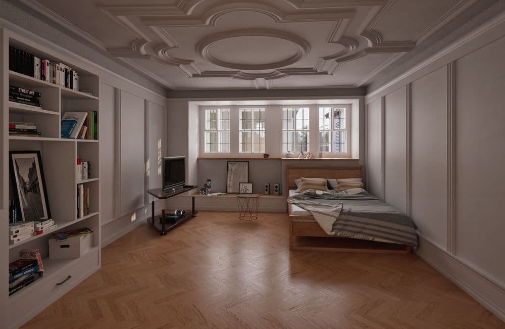
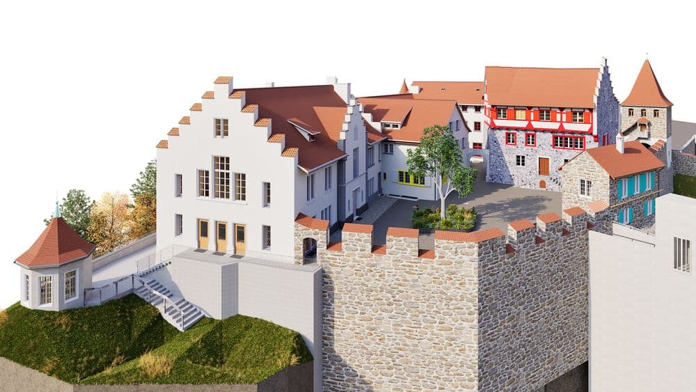
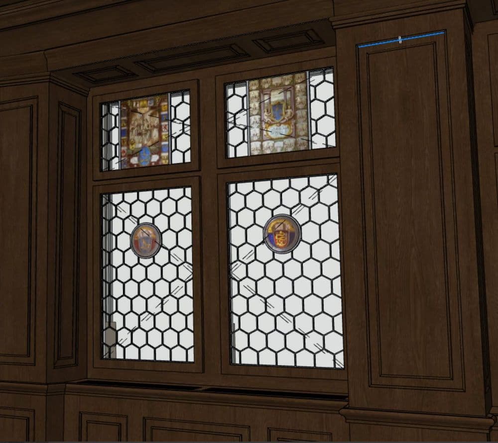
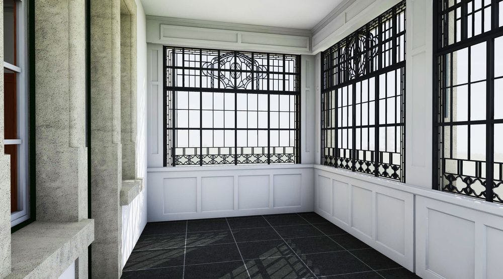
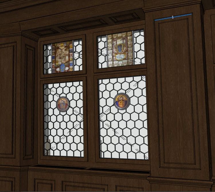
Even for historic buildings, a digital 3D model can be derived from a point cloud—Scan-to-BIM. The challenge here is that historic buildings rarely consist of standardized components. An irregular natural stone wall cannot simply be represented as a straight, standard component. When modeling, a decision must therefore be made regarding how detailed the actual geometry should be. A good as-built model does not show as many details as possible—but rather precisely those that are truly relevant for further planning.
A Digital Snapshot—Also for the Future
A building survey is often conducted for a specific reason—a planned renovation or restoration. However, the point cloud can still provide valuable information about the building’s condition at that time, even years later.
This is a particularly welcome side effect when it comes to cultural heritage sites: the survey simultaneously creates a documented snapshot. Should changes or damage occur later, a detailed digital as-built survey can be consulted—this is precisely where we at VDE see added value in our work, far beyond the original reason for the survey.
Frequently Asked Questions About 3D Surveying of Historic Buildings
Brief answers to the most important questions:
Can a historic building be surveyed with a laser scanner?
Yes—3D laser scanning is particularly well-suited for historic buildings because the visible structure is captured entirely without contact.
Are historic surfaces damaged in the process?
No. The non-contact nature of the process is a key advantage, especially for delicate surfaces and historic architectural elements.
Can crooked walls and irregular rooms be captured?
Yes, and particularly well. Irregular geometries are among the strengths of a three-dimensional survey.
Can a BIM model be created from this data?
Yes. The level of detail is specifically tailored to the intended future use rather than maximized across the board.
Do old construction plans lose value as a result of a new survey?
On the contrary. They often contain information that can no longer be measured today—the combination of both sources is often the most valuable.
Does VDE operate throughout Switzerland?
Yes. VDE surveys historic and landmark-protected buildings throughout Switzerland—from point clouds to complete 3D or BIM models.