Why a point cloud is not immediately a reliable basis for planning
Pitfalls and risks in the further processing of 3D laser scans
In practice, we regularly hear questions such as:
“We already have a point cloud - can you work with it?”
Our answer is usually: “Yes - but only if we can check it first.”
This query often causes surprise. After all, the point cloud was delivered as “cleanly registered”. So why another test?
The answer is simple - and of great importance for anyone who works digitally with building images:
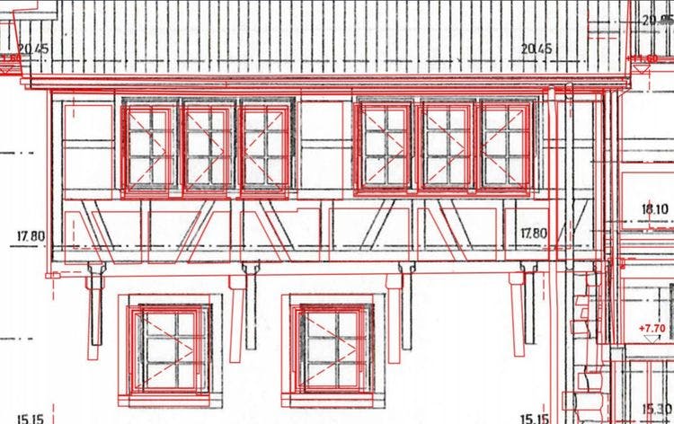
What at first glance looks like a complete and correctly composed point cloud can show considerable weaknesses when analyzed in detail. Small shifts, often only in the range of a few centimetres, add up in the model and lead to serious deviations from the actual inventory.
Small errors with major consequences. For example, a scan is slightly shifted by 3-4 cm - the next scan builds on this - and suddenly an entire wing of the building is shifted by 10 cm. These types of errors often occur during the automatic registration of laser scans, especially if no proper checks or manual corrections have been made.
Particularly with more complex buildings, such a chain reaction of inaccuracies can run through the entire model. The result is a 3D model that no longer corresponds to the actual condition - and therefore does not provide a reliable basis for planning.
3D laser scanning needs control. 3D laser scanning is an extremely powerful tool for digitally recording buildings. However, the quality of the digital as-built survey stands and falls with the accuracy of the data processing. A point cloud is only valuable if it is geometrically consistent and error-free. This is why careful checking - and, if necessary, post-processing - is part of the standard process for professional providers.
Quality before speed - also when it comes to 3D scan costs. Of course, 3D scan costs also play a role. But those who are too quick to opt for the cheapest solution risk ending up duplicating work and incurring high follow-up costs in the planning process. A reliable digital as-built survey not only saves time, but above all prevents planning errors and costly corrections in later project phases.
Conclusion: Trust is good - checking is mandatory. Not every point cloud can be used automatically. Anyone planning with 3D laser scans should ensure the highest data quality - and not make any compromises when it comes to checking and registration. Because only a precise point cloud without internal displacements forms the basis for economical and reliable planning in existing buildings.


