Other References
from this Category
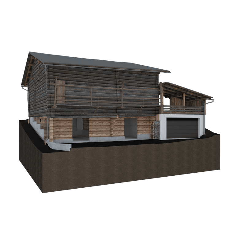
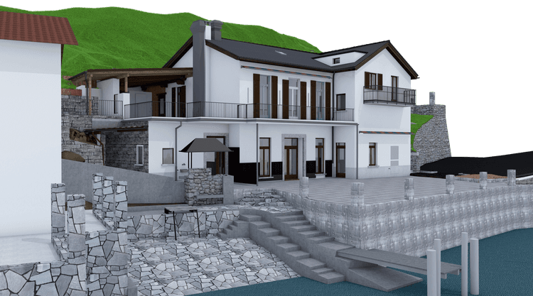
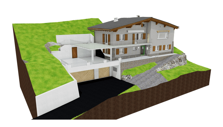
Villa Digital
Engineering AG
Tittwiesenstrasse 21
7000 Chur
Alte Landstrasse 248
8708 Männedorf
Zugerstrasse 53
6340 Baar
Neugasse 12
9000 St. Gallen
3D As-Built Model & Site Survey | Schossackerstrasse, Schwerzenbach, ZH
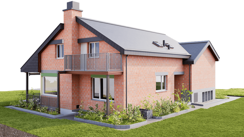
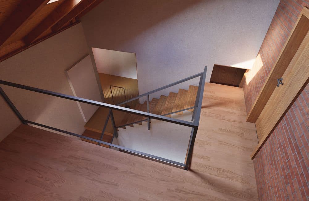
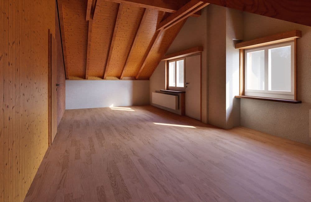
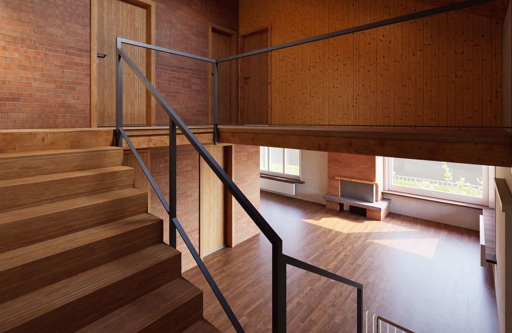
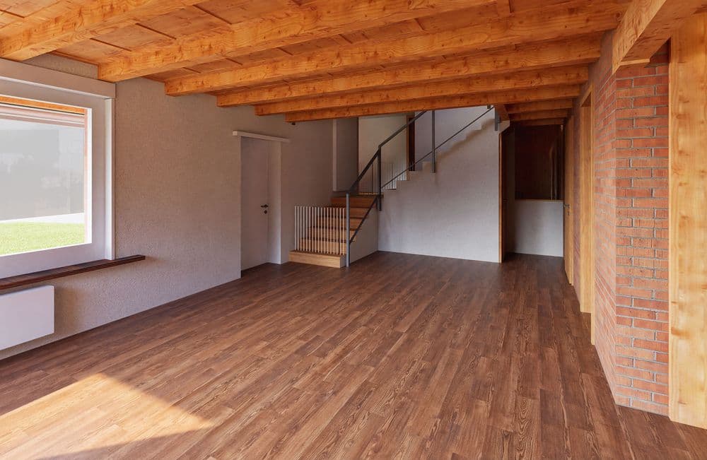
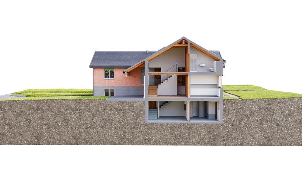
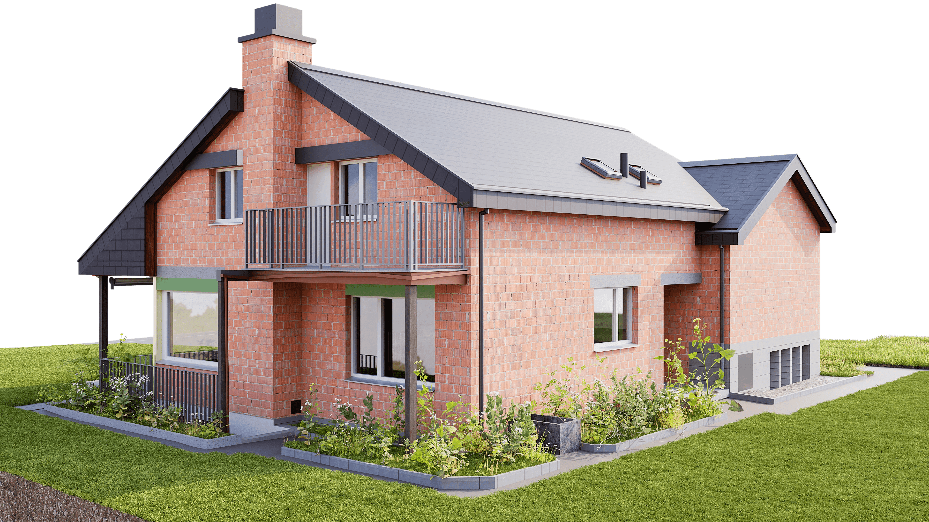
On Schossackerstrasse in Schwerzenbach, the building was documented with state-of-the-art laser technology with millimeter precision, from the basement to the roof. The measured data serves as the basis for a highly precise 3D model in ArchiCAD 28, supplemented by detailed 2D plans including all floor plans, sections, and elevation views.
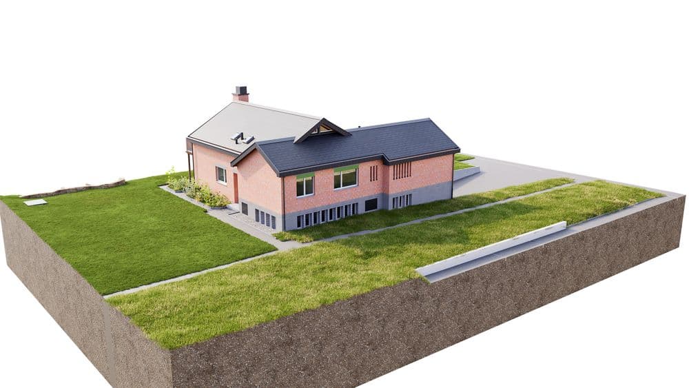
The digital terrain model of the entire parcel completes the data capture and enables an exact integration of the building and its surroundings—an ideal foundation for renovations, expansions, or long-term facility planning.
On Schossackerstrasse in Schwerzenbach, the building was documented with state-of-the-art laser technology with millimeter precision, from the basement to the roof. The measured data serves as the basis for a highly precise 3D model in ArchiCAD 28, supplemented by detailed 2D plans including all floor plans, sections, and elevation views.