Other References
from this Category
Villa Digital
Engineering AG
Tittwiesenstrasse 21
7000 Chur
Alte Landstrasse 248
8708 Männedorf
Zugerstrasse 53
6340 Baar
Neugasse 12
9000 St. Gallen
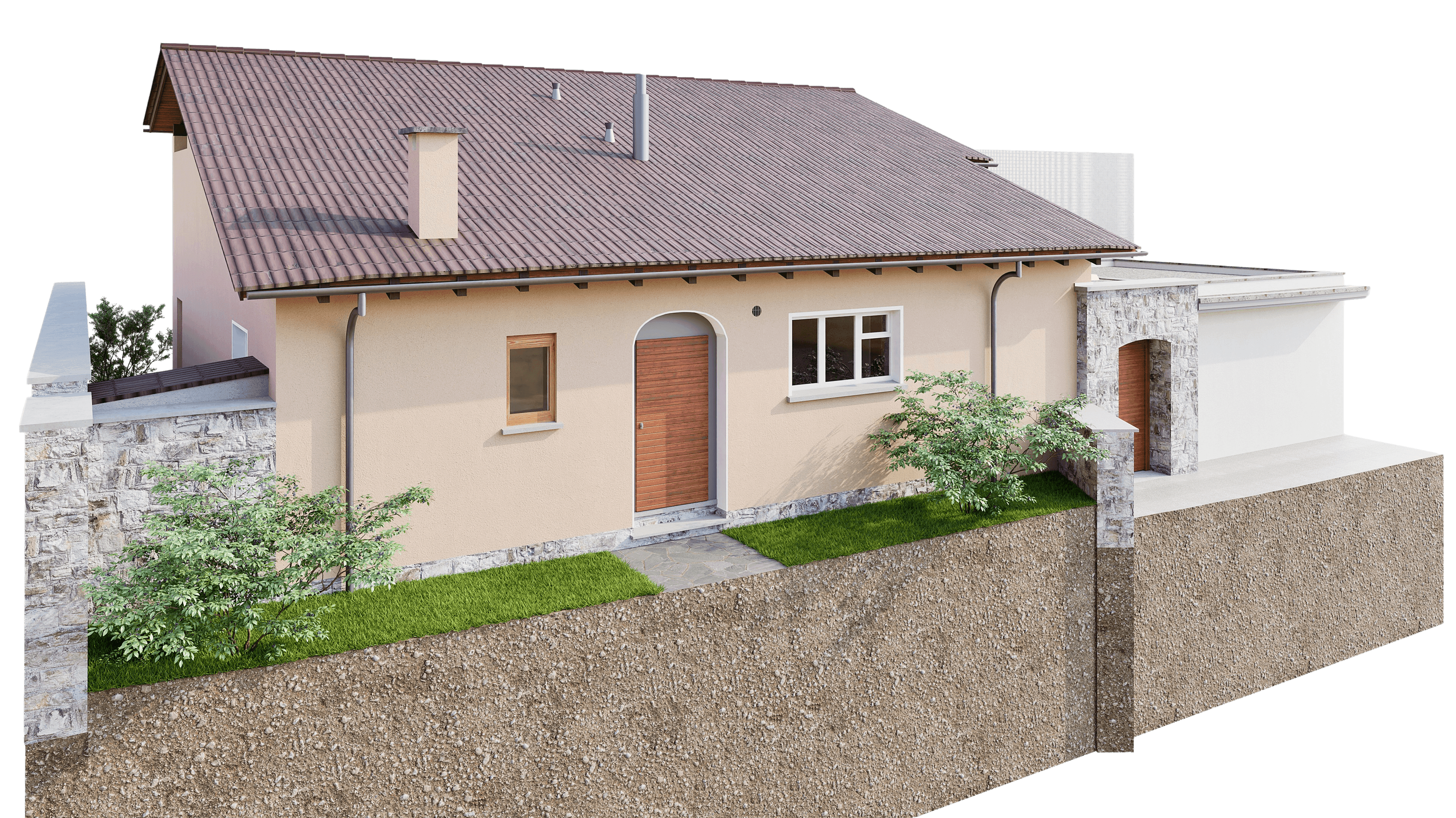
Building Surveying & Terrain Modeling | Ascona, TI
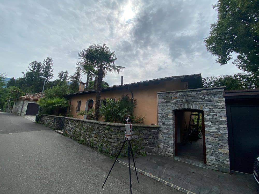
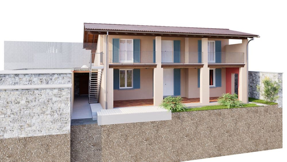
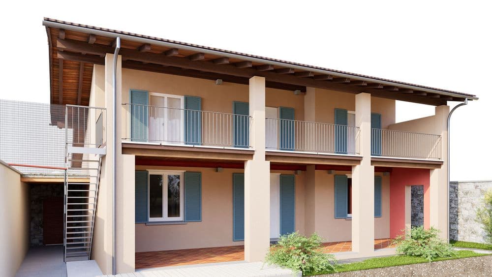
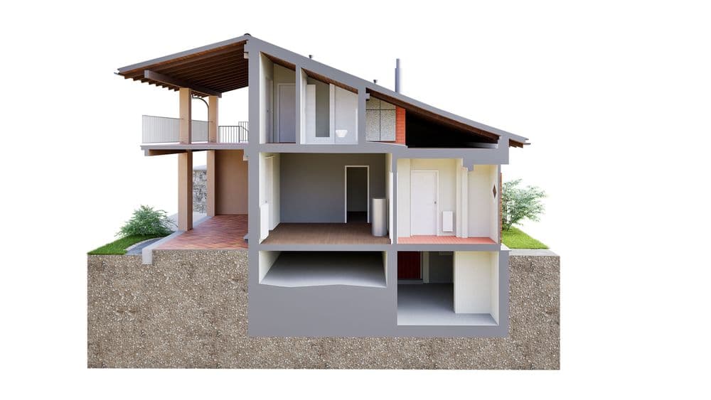
In Ascona, we fully surveyed the property on Via Albarelle using state-of-the-art 3D laser scanning. The point clouds were used to create a highly detailed 3D model in ArchiCAD, supplemented by 2D layouts and terrain data accurate to within 1 meter along the facades.
This provides the client with comprehensive digital documentation—a reliable foundation for renovations, restorations, or expansions that preserve the unique character of Ascona.
In Ascona, we fully surveyed the property on Via Albarelle using state-of-the-art 3D laser scanning. The point clouds were used to create a highly detailed 3D model in ArchiCAD, supplemented by 2D layouts and terrain data accurate to within 1 meter along the facades.