Scan2BIM - Geometry + Information - Coordinated planning
3D BIM models
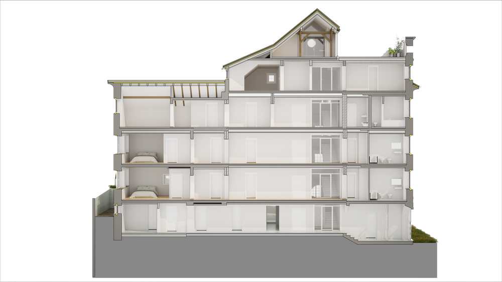
A 3D BIM model of an existing building — also known as a Scan-to-BIM model — is an object-based digital building model derived from laser scan data. Unlike a standard 3D CAD model, a BIM model contains structured building component information: walls, slabs, columns, and MEP elements can be enriched with attributes such as material, layer composition, or component classification.


Villa Digital
Engineering AG
Tittwiesenstrasse 21
7000 Chur
Alte Landstrasse 248
8708 Männedorf
Zugerstrasse 53
6340 Baar
Neugasse 12
9000 St. Gallen