Buildings - Geometry - ArchiCAD, Revit, Allplan, Vectorworks
3D CAD models
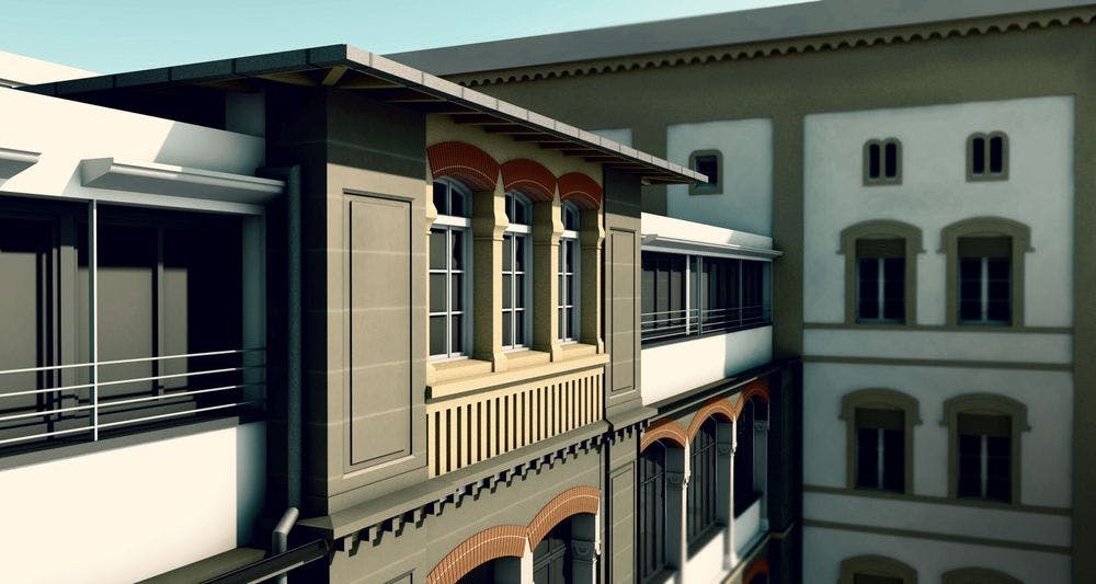
A 3D CAD as-built model from laser scanning is a three-dimensional, deformation-accurate representation of an existing building derived from point cloud data. Ideal for renovation planning and refurbishments. VDE delivers 3D CAD models directly in ArchiCAD, Revit, Vectorworks, and Allplan, tailored to the level of detail required by the project.


Villa Digital
Engineering AG
Tittwiesenstrasse 21
7000 Chur
Alte Landstrasse 248
8708 Männedorf
Zugerstrasse 53
6340 Baar
Neugasse 12
9000 St. Gallen