Altre referenze
di questa categoria
Villa Digital
Engineering AG
Tittwiesenstrasse 21
7000 Chur
Alte Landstrasse 248
8708 Männedorf
Zugerstrasse 53
6340 Baar
Neugasse 12
9000 St. Gallen
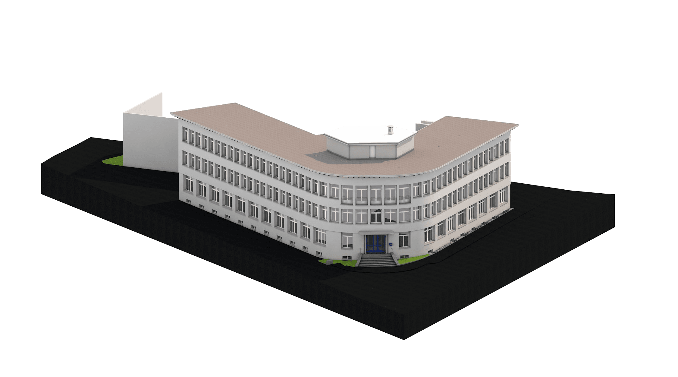
Allplan BIM Model: Commercial Building | Schwanden, GL
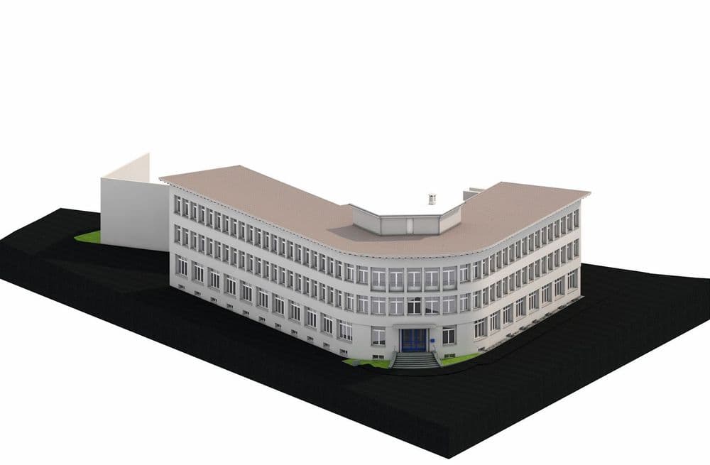
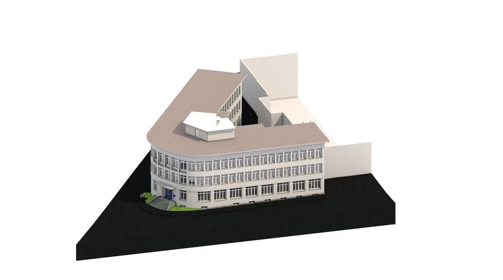
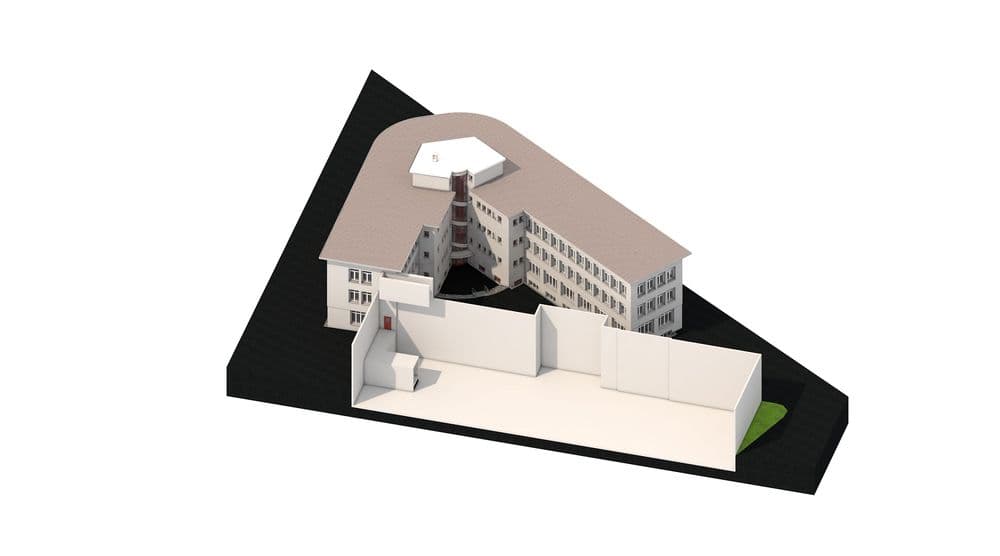
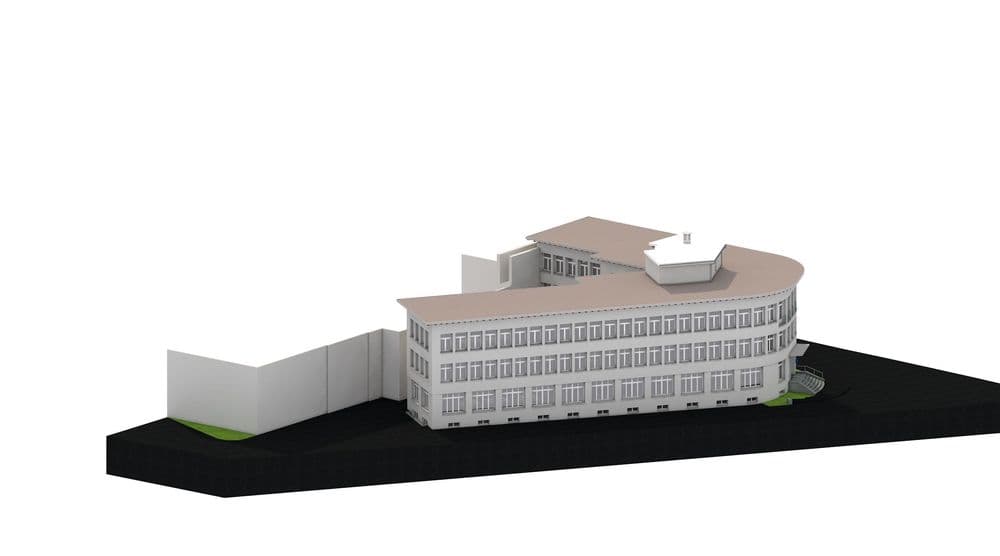
We modeled the commercial building in Schwanden in 3D using Allplan. The 3D model is based on precise on-site measurements taken with a laser scanner.
The laser scanner captures 500,000 data points per second, which are represented as a point cloud in the spatial model. We precisely combine multiple scan positions to create a highly accurate, three-dimensional point cloud of your property. Our experienced drafters then use this point cloud to create the 3D BIM/CAD model.
We modeled the commercial building in Schwanden in 3D using Allplan. The 3D model is based on precise on-site measurements taken with a laser scanner.