Altre referenze
di questa categoria
Villa Digital
Engineering AG
Tittwiesenstrasse 21
7000 Chur
Alte Landstrasse 248
8708 Männedorf
Zugerstrasse 53
6340 Baar
Neugasse 12
9000 St. Gallen
BIM Model of the Tram Depot Structural System | BVB Basel
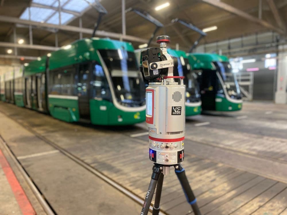
Our surveying professionals used our laser scanners to capture even the smallest details of this tram depot in Basel. Although the scanner doesn’t lie, it can’t see through walls and needs to be positioned correctly to capture data.
To capture the structural framework beneath the tram hall, a large number of scan positions were required within a very confined space. Thanks to a very short scan time of one minute per position, we can tackle such challenges very efficiently.
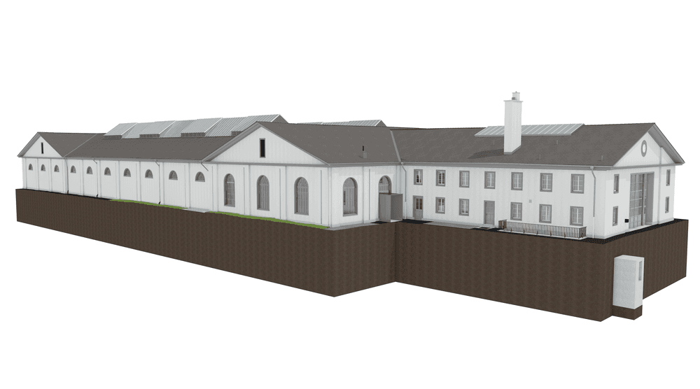
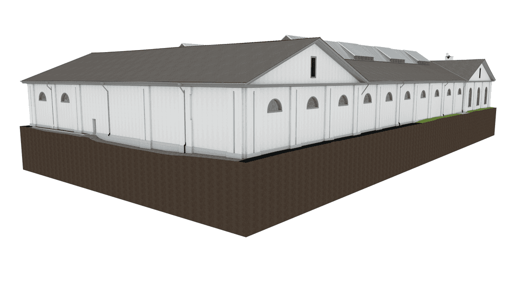
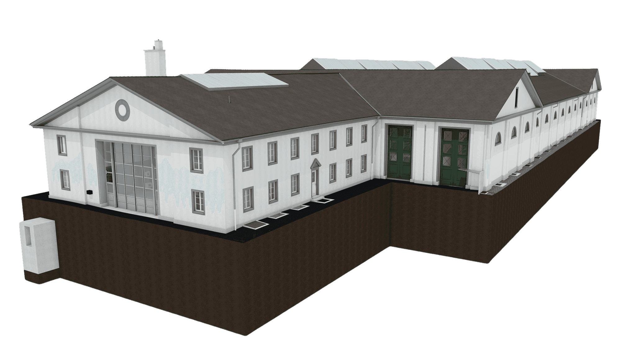
The captured data is processed and stored in what is known as a “point cloud.” We use the point cloud data as the basis for creating a highly precise 3D and BIM model.
Our surveying professionals used our laser scanners to capture even the smallest details of this tram depot in Basel. Although the scanner doesn’t lie, it can’t see through walls and needs to be positioned correctly to capture data.