


Altre referenze
di questa categoria
Villa Digital
Engineering AG
Tittwiesenstrasse 21
7000 Chur
Alte Landstrasse 248
8708 Männedorf
Zugerstrasse 53
6340 Baar
Neugasse 12
9000 St. Gallen
BIM Modeling of an Existing Building | Wasterkingen, ZH
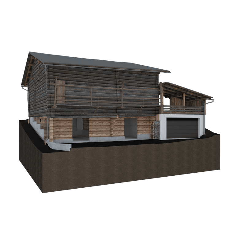
For the building on Unterdorfstrasse in Wasterkingen, we conducted a precise 3D survey using state-of-the-art laser scanning. The resulting point cloud captures the entire existing structure with millimeter precision and enables a complete documentation of both the interior and exterior structures.
Based on this data, we created a refined and clearly structured 3D model in Archicad. This digital building model corresponds to the actual condition of the building and serves as a reliable basis for planning, renovation, or future expansions. The combination of precise surveying and high-quality BIM modeling results in a digital representation of the building that ensures the highest level of accuracy and planning reliability.
For the building on Unterdorfstrasse in Wasterkingen, we conducted a precise 3D survey using state-of-the-art laser scanning. The resulting point cloud captures the entire existing structure with millimeter precision and enables a complete documentation of both the interior and exterior structures.