




Altre referenze
di questa categoria
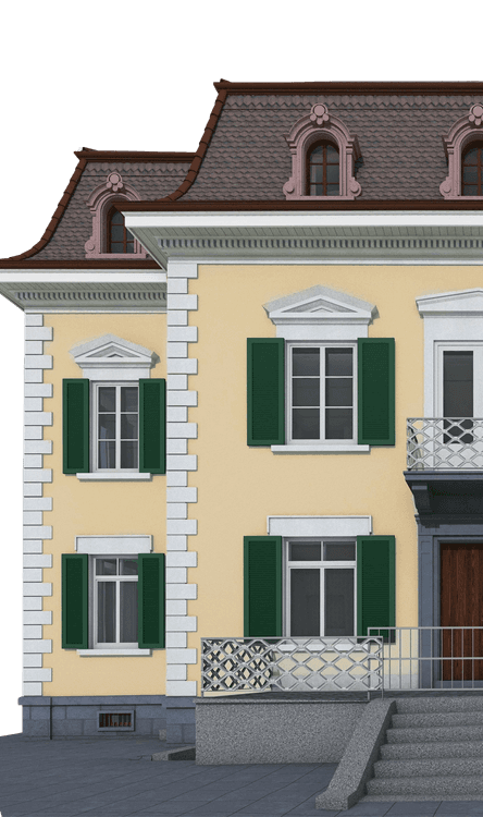
Villa Digital
Engineering AG
Tittwiesenstrasse 21
7000 Chur
Alte Landstrasse 248
8708 Männedorf
Zugerstrasse 53
6340 Baar
Neugasse 12
9000 St. Gallen
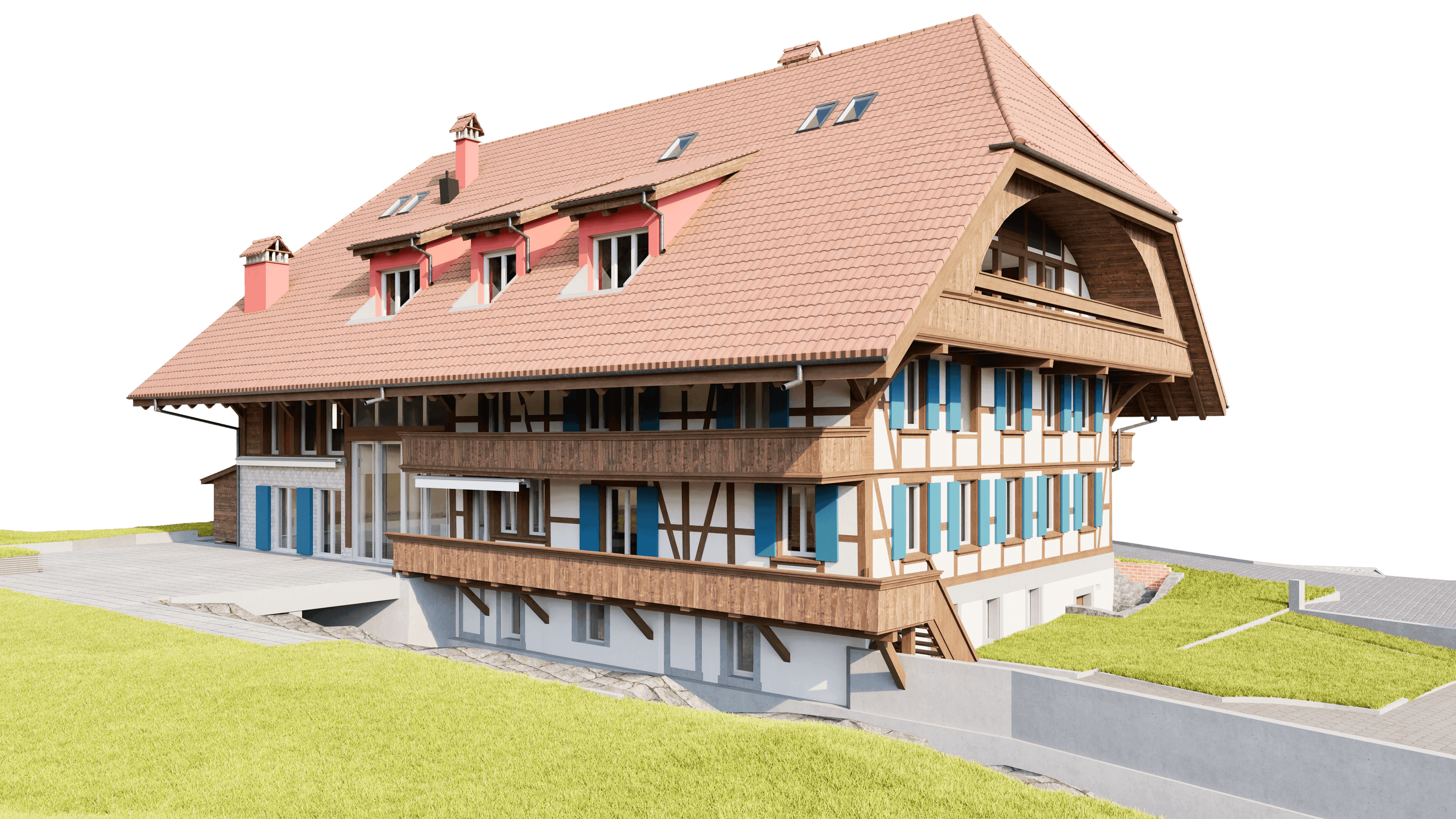
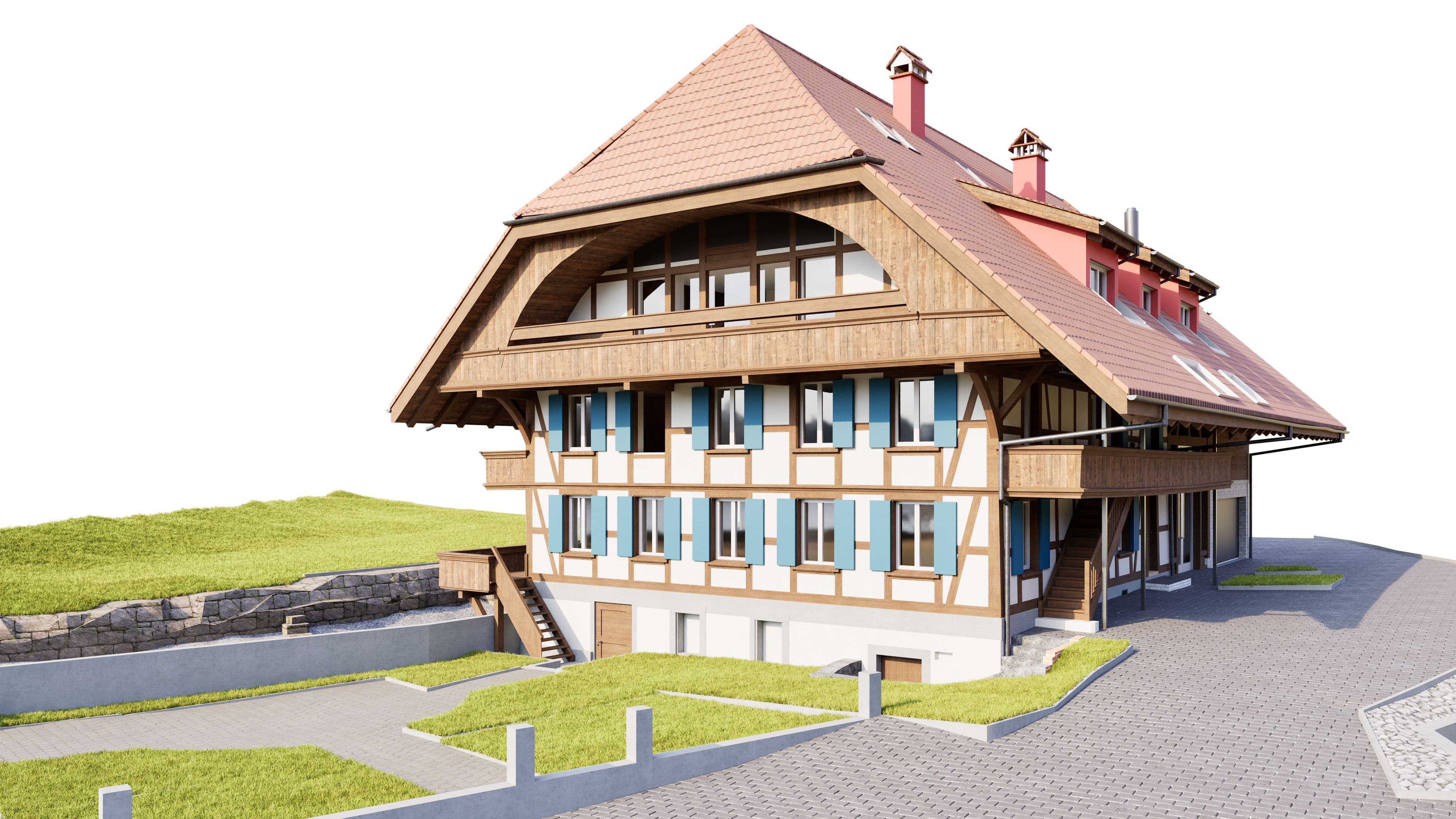
Survey of Half-Timbered Buildings | Historic Property in Jegenstorf, BE
On the outskirts of Jegenstorf, a building survey of the properties—including the entire parcel—was conducted. Using precise 3D laser scanning, a complete digital as-built survey of the buildings and site was created. Based on this, a detailed 3D CAD model covering all floors was created in ArchiCAD 28. The processed as-built data serves as a reliable basis for planning, documentation, and further project planning for the existing structure, as well as for the long-term digital preservation of the building structure and site information.
On the outskirts of Jegenstorf, a building survey of the properties—including the entire parcel—was conducted. Using precise 3D laser scanning, a complete digital as-built survey of the buildings and site was created. Based on this, a detailed 3D CAD model covering all floors was created in ArchiCAD 28. The processed as-built data serves as a reliable basis for planning, documentation, and further project planning for the existing structure, as well as for the long-term digital preservation of the building structure and site information.